New York State Route 42 (NY 42) is a north–south, discontinuous state highway in the Catskill Mountains region of New York in the United States. The southernmost of the highway's two segments begins at an intersection with U.S. Route 6 (US 6) and US 209 in Port Jervis and ends at a junction with NY 55 near the Rondout Reservoir in Neversink. NY 42's northern segment runs from NY 28 in Shandaken to NY 23A in Lexington. The 41-mile (66 km) southern segment is located in Orange County and Sullivan County, while the 11-mile (18 km) northern segment is in Ulster County and Greene County.
NY 42/NY 97 northbound in Port Jervis
NY 42 southbound through the village of Monticello
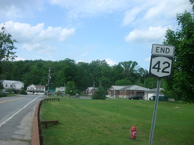
NY 42's terminus for the southern segment at NY 55 in Grahamsville
Sign on NY 55 in Curry near junction with beginning of former middle segment of NY 42, suggesting the concurrency still exists
U.S. Route 6 (US 6) in New York is a 77.85-mile (125.29 km) stretch of United States Numbered Highway that spans from the Pennsylvania state line at Port Jervis to the Connecticut state line east of Brewster. Near both ends it runs in close proximity to Interstate 84 (I-84), which otherwise takes a more northerly route through Downstate New York. US 6, meanwhile, skirts the northern fringe of the New York metropolitan area.
The Mid-Delaware Bridge
Slate Hill
Woodbury Common and vicinity from US 6
US 6 climbing into the Hudson Highlands in Harriman State Park on the west bank of the Hudson River in New York