New York State Route 421 (NY 421) is a short state highway located within Adirondack Park in the southeastern corner of St. Lawrence County, New York, in the United States. It is a narrow, two-lane spur route connecting NY 30 to Horseshoe Lake by way of Tupper Lake. A dead end sign is posted immediately off NY 30, the only route with which it intersects. The entire road is located in the town of Piercefield, although that name is not posted on NY 421. The route offers access to several picnic and snowmobile areas.
NY 421 in Piercefield
Signage at NY 421's western terminus, a dead end in Piercefield
The former alignment of NY 421 and NY 971D in Piercefield
New York State Route 30 (NY 30) is a state highway in the central part of New York in the United States. It extends for 300.71 miles (483.95 km) from an interchange with NY 17 in the Southern Tier to the US–Canada border in the state's North Country, where it continues into Quebec as Route 138. On a regional level, the route serves to connect the Catskill Park to the Adirondack Park. In the latter, NY 30 is known as the Adirondack Trail. Aside from the state parks, the route serves the city of Amsterdam and several villages.
NY 30 southern terminus with NY 17 interchange visible
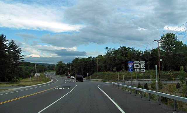
Northbound NY 30 approaching the southern terminus of NY 30A
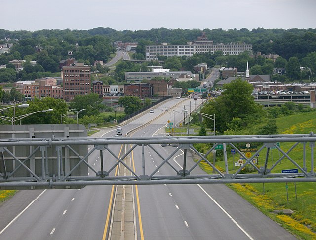
NY 30 approaching Amsterdam with Market Street hill visible in the background
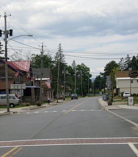
NY 30 overlaps NY 28 through the western portion of the Indian Lake hamlet


