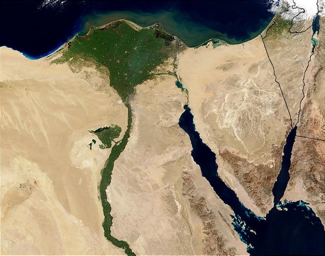
The Nile Delta is the delta formed in Lower Egypt where the Nile River spreads out and drains into the Mediterranean Sea. It is one of the world's larger deltas—from Alexandria in the west to Port Said in the east, it covers 240 km (150 mi) of Mediterranean coastline and is a rich agricultural region. From north to south the delta is approximately 160 km (100 mi) in length. The Delta begins slightly down-river from Cairo.
NASA satellite photograph of the Nile Delta (shown in false color)
The Nile Delta at night as seen from the ISS in October 2010.
Nile River and Delta
Ancient branches of the Nile, showing Wadi Tumilat, and the lakes east of the Delta
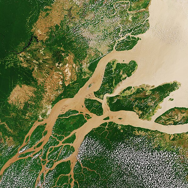
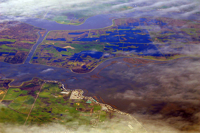
A river delta is a landform shaped like a triangle, created by the deposition of sediment that is carried by a river and enters slower-moving or stagnant water. This occurs at a river mouth, when it enters an ocean, sea, estuary, lake, reservoir, or another river that cannot carry away the supplied sediment. It is so named because its triangle shape resembles the uppercase Greek letter delta, Δ. The size and shape of a delta are controlled by the balance between watershed processes that supply sediment, and receiving basin processes that redistribute, sequester, and export that sediment. The size, geometry, and location of the receiving basin also plays an important role in delta evolution.
Lena river delta
Satellite image of the Amazon Delta captured by NASA in 2005.
NASA satellite photograph of the Nile Delta (shown in false color)
Sacramento–San Joaquin (California) Delta at flood stage, early March 2009


