Niton is a village and former civil parish, now in the parish of Niton and Whitwell, on the Isle of Wight, England. It is west of Ventnor, with a population of 2,082. It has two pubs, several churches, a pottery workshop/shop, a pharmacy, a busy volunteer-run library, a medical centre and two local shops including a post office. The post office includes a pub and café that serves as a local meeting place. The village also offers a primary school with a co-located pre-school and nursery.
The White Lion, a pub in the village.
St Catherine's Lighthouse
Niton village
Niton, with St Catherine's Down behind
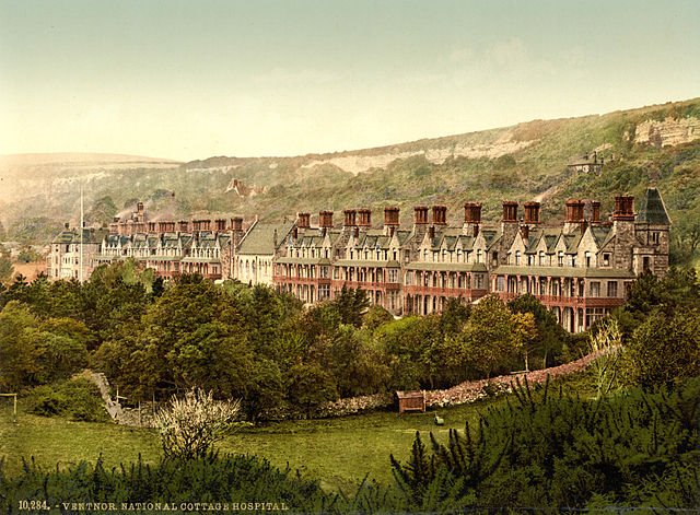
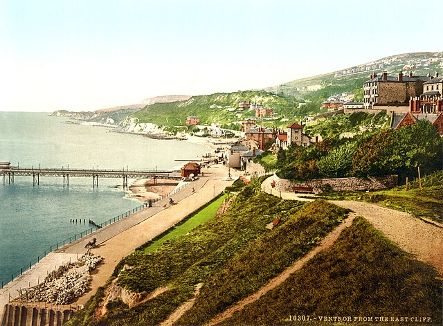
Ventnor is a seaside resort town and civil parish established in the Victorian era on the southeast coast of the Isle of Wight, England, eleven miles (18 km) from Newport. It is situated south of St Boniface Down, and built on steep slopes leading down to the sea. The higher part is referred to as Upper Ventnor ; the lower part, where most amenities are located, is known as Ventnor. Ventnor is sometimes taken to include the nearby and older settlements of St Lawrence and Bonchurch, which are covered by its town council. The population is 5,567 according to the 2021 Census
Ventnor seafront, June 2018
Cottage Hospital, Ventnor, c. 1899
Photochrom of Ventnor, 1899
Airmen and WAAF operators at RAF Ventnor during the Battle of Britain