The Norfolk Yeomanry was a volunteer cavalry (Yeomanry) regiment of Britain's Territorial Army accepted onto the establishment of the British Army in 1794. After seeing action in the Second Boer War, it served dismounted at Gallipoli, in Palestine and on the Western Front during the First World War. Between the wars it converted to the Royal Artillery (TA), and served as an anti-tank regiment in France, the Western Desert, Italy and North West Europe during the Second World War. After the war it served as a TA air defence unit and then as an Army Air Corps unit.
Badge with the royal cypher of George VI and service cap as worn at the outbreak of the Second World War
The Nablus Road, Ain Sinai and Yebrud (photo taken by 230th Bde).
Norfolk is a ceremonial county in the East of England and East Anglia. It borders Lincolnshire and The Wash to the north-west, the North Sea to the north and east, Cambridgeshire to the west, and Suffolk to the south. The largest settlement is the city of Norwich.
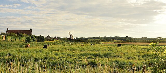
Image: Cley windmill, from Beach Road, Cley next the Sea geograph.org.uk 3005259 (cropped)
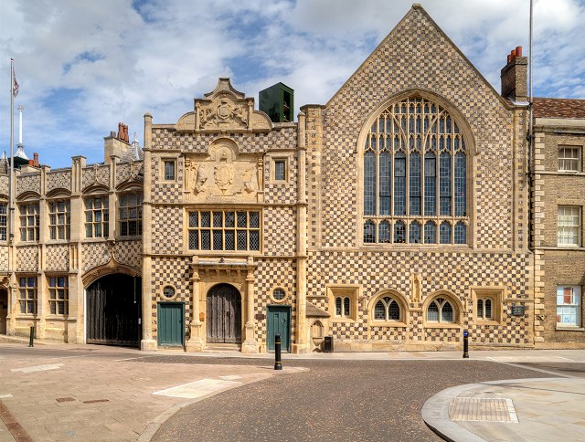
Image: Kings Lynn Guild Hall (geograph 4626827)
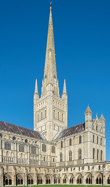
Image: Norwich Cathedral The Tower and Spire
Entrance to Norfolk at Walsoken, Wisbech on the Cambridgeshire and Norfolk county boundary