North American blizzard of 2006
The North American blizzard of 2006 was a nor'easter that began on the evening of February 11, 2006 and impacted much of eastern North America. It dumped heavy snow across the Mid-Atlantic and New England states, from Virginia to Maine through the early evening of February 12, and ended in Atlantic Canada on February 13. The major cities from Baltimore to Boston received at least a foot of snow, with a second-highest amount of 26.9 inches (68 cm) in New York City, the most since at least 1869, the start of record keeping, only broken by the January 2016 United States blizzard nearly 10 years later.
A NASA satellite image of the storm
Prospect Heights, Brooklyn on February 12
A loader clears snow in New York City during a lull in the snowfall on Sunday, February 12
Falls Church, Virginia outside of Washington, D.C. in Northern Virginia during the storm
A nor'easter, is a large-scale extratropical cyclone in the western North Atlantic Ocean. The name derives from the direction of the winds that blow from the northeast. The term is commonly used in the winter in New England and Atlantic Canada.
Nor'easter off the New England coast of the United States responsible for the January 2018 North American blizzard
Compass card (1607), featuring the spelling "Noreast"
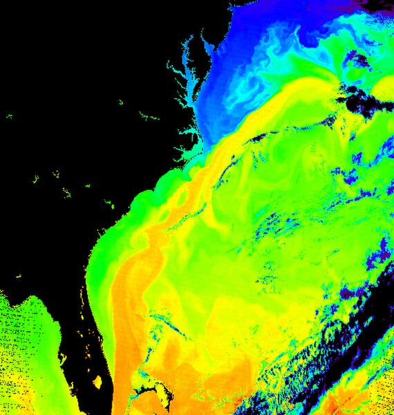
Surface temperature of the sea off the east coast of North America. The corridor in yellow gives the position of the Gulf Stream.