North Andhra
Videos
Photos
North Andhra or Uttara Andhra, also known as Kalinga Andhra, is a geographic region in the Indian state of Andhra Pradesh. It is between the Eastern Ghats and the coast of the Bay of Bengal. It comprises six northern districts of the state, Srikakulam, Parvathipuram Manyam, Vizianagaram, Visakhapatnam, Alluri Sitharama Raju and Anakapalli. As of 2011 census of India, the region with six districts has a population of 9,338,177.

Image: Vizag View from Kailasagiri

Image: Arasavilli Suryanarayana Temple in Srikakulam
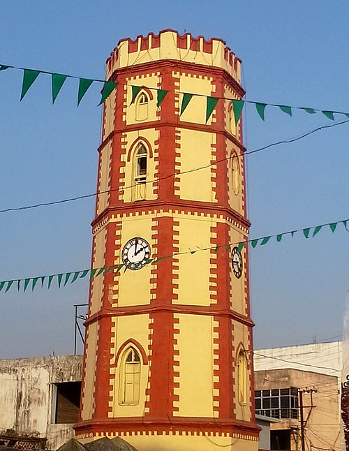
Image: Ganta stambham (clock tower) in Vizianagaram

Image: Araku Valley coffee plantations
Andhra Pradesh
Videos
Photos
Andhra Pradesh is a state in the southern coastal region of India. It is the seventh-largest state with an area of 162,970 km2 (62,920 sq mi) and the tenth-most populous state with 49,577,103 inhabitants. It shares borders with Chhattisgarh, Odisha, Karnataka, Tamil Nadu, Telangana and the Bay of Bengal. It has the second-longest coastline in India at about 974 km (605 mi). After existence as Andhra State and unified Andhra Pradesh, the state took its present form on 2 June 2014, when the new state of Telangana was formed through bifurcation. Amaravati is the capital of the state, with the largest city being Visakhapatnam. Water sharing disputes and asset division with Telangana are not yet resolved. Telugu, one of the classical languages of India used by the majority of people, is the first official language.

Image: Tirumala 090615

Image: Rock cut cave

Image: Vizag seaport

Ruins of the Buddhist Maha Stupa at Bhattiprolu, built during the 3rd century BCE–2nd century BCE