North Bonneville, Washington
Videos
North Bonneville is a city in the Columbia River Gorge National Scenic Area along the Columbia River in Skamania County, Washington, United States. The population was 1,397 at the 2020 census.
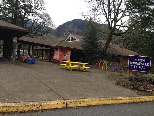
City Hall in North Bonneville, February 2016
North Bonneville, Bonneville Dam, and surrounding area from Beacon Rock State Park, 1997
Washington State Route 14
Videos
State Route 14 (SR 14) is a 180.66-mile-long (290.74 km) state highway in the U.S. state of Washington. The highway travels east-west on the north side of the Columbia River, opposite Interstate 84 (I-84) to the south in Oregon. SR 14 forms a section of the Lewis and Clark Trail Scenic Byway and begins at an interchange with I-5 in Vancouver. The highway travels east as a four-lane freeway through Camas and Washougal and intersects I-205. SR 14 continues east as a two-lane highway through Clark, Skamania, Klickitat, and Benton counties before it ends at an interchange with I-82 and U.S. Route 395 (US 395) near Plymouth.

SR 14 eastbound in Vancouver

The high bridge here carries SR 14 across the Klickitat River at Lyle, Washington.

SR 14 at its interchange with I-205, built in the 1970s