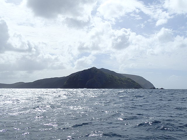
North Cape / Otou is the northernmost point of New Zealand's main islands. At the northeastern tip of the Aupōuri Peninsula, the cape lies 30 kilometres (19 mi) east and three kilometres (1.9 mi) north of Cape Reinga. The name North Cape is sometimes used to refer just to the cape that is known in Māori as Otou and which overlooks Murimotu Island, and sometimes just to the eastern point of Murimotu Island. It is also used to refer to the whole larger headland stretching about five kilometres from Murimotu Island westwards to Kerr Point and including the Surville Cliffs. Statistics New Zealand uses a statistical area called North Cape for population data, extending south down the Aupōuri Peninsula to the Houhora Heads.
Murimotu Island (foreground) with the Lighthouse just visible on top, Otou just behind the light to the right and Surville Cliffs extending out to the right in the background
Surville Cliffs, from the North West
The Aupōuri Peninsula is a tombolo at the northern tip of the North Island of New Zealand. It projects between the Tasman Sea to the west and the Pacific Ocean to the east. It constitutes the northern part of the Far North District, incorporating North Cape, Houhora and the northern half of Awanui.
NASA satellite photo of the Aupōuri Peninsula


