The North China Plain is a large-scale downfaulted rift basin formed in the late Paleogene and Neogene and then modified by the deposits of the Yellow River. It is the largest alluvial plain of China. The plain is bordered to the north by the Yanshan Mountains, to the west by the Taihang Mountains, to the south by the Dabie Mountains, and to the east by the Yellow Sea and Bohai Sea. The Yellow River flows through the plain, before its waters empty into the Bohai Sea.
Jinan, the capital of Shandong province
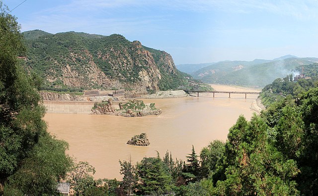
The Yellow River is the second-longest river in China, after the Yangtze River, and the sixth-longest river system on Earth at the estimated length of 5,464 km (3,395 mi). Originating at an elevation above 15,000 feet in the Bayan Har Mountains, it empties into the Bohai Sea. The Yellow River basin was the birthplace of ancient Chinese civilization. Its yellow sediments are carried downstream from the Loess Plateau. The river experiences frequent devastating floods and course changes produced by the continual elevation of the river bed, sometimes above the level of its surrounding farm fields.
The Yellow River in Sanmenxia, Henan
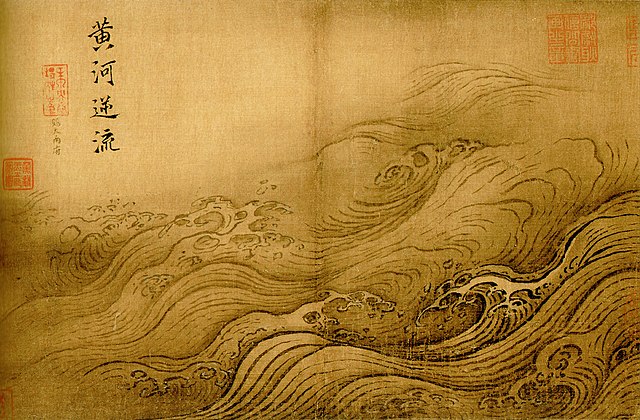
The Yellow River Breaches its Course by Ma Yuan (1160–1225, Song dynasty). Flooding of the river has been the cause of millions of deaths.
Zoigê County, Sichuan.
Guide County, Qinghai in the Tibetan Plateau, upstream from the Loess Plateau.


