North Hollywood, Los Angeles
Videos
Photos
North Hollywood is a Los Angeles, California neighborhood, located in the San Fernando Valley. The neighborhood contains the NoHo Arts District, the El Portal Theatre, several art galleries, and the Academy of TV Arts and Sciences. The North Hollywood Metro Rail station is the northern terminus of the B Line subway on the Los Angeles Metro.

Image: St. Charles Borromeo Church, N. Hollywood, side view

Image: NHHS Kennedy Hall

Image: El Portal Theater, North Hollywood 2014 11 18 (cropped)

Image: Television Academy 2018
San Fernando Valley
Videos
Photos
The San Fernando Valley, known locally as the Valley, is an urbanized valley in Los Angeles County, California. Situated to the north of the Los Angeles Basin, it contains a large portion of the city of Los Angeles, as well as several unincorporated areas; and the incorporated cities of Burbank, Calabasas, Glendale, Hidden Hills, and San Fernando. The valley is well known for its film studios such as Warner Bros. Studios and Walt Disney Studios. In addition, it is home to the Universal Studios Hollywood theme park.

The San Fernando Valley looking northeast; from the top of Topanga Overlook Park above Woodland Hills in foreground

San Fernando Valley

Mission San Fernando: in a circa 1900 postcard
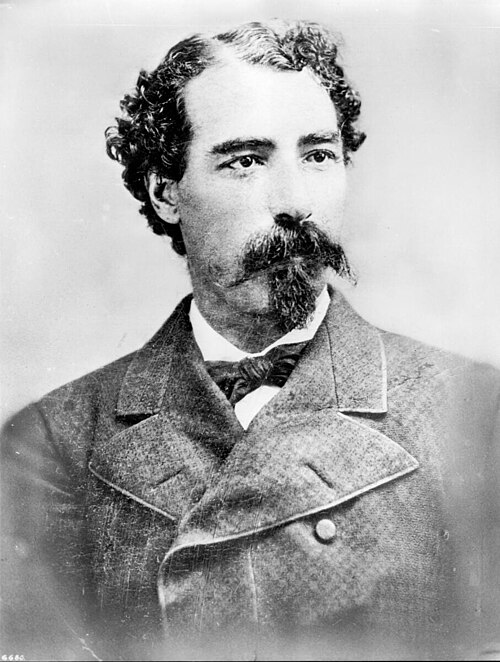
Californio ranchero Eulogio F. de Celis once owned most of the San Fernando Valley.