North Potomac is a census-designated place and unincorporated area in Montgomery County, Maryland, United States. It is located less than 5 miles (8.0 km) north of the Potomac River, and is about 20 miles (32 km) from Washington, D.C. It has a population of 23,790 as of 2020.
North Potomac, Maryland
Circa 1850 barn at site where John L. DuFief built a mill complex that connected to the C&O Canal
Muddy Branch flowing toward Potomac River as viewed from Quince Orchard Road
Shopping at Traville Village Center on Traville Gateway Drive in North Potomac
Darnestown is a United States census-designated place (CDP) and an unincorporated area in Montgomery County, Maryland. The CDP is 17.70 square miles (45.8 km2) with the Potomac River as its southern border and the Muddy Branch as much of its eastern border. Seneca Creek borders portions of its north and west sides. The Travilah, North Potomac, and Germantown census-designated places are adjacent to it, as is the city of Gaithersburg. Land area for the CDP is 16.39 square miles (42.4 km2). As of the 2020 census, the Darnestown CDP had a population of 6,723, while the village of Darnestown is considerably smaller in size and population. Downtown Washington, D.C. is about 22 miles (35 km) to the southeast.
Darnestown, Maryland
Darnestown Presbyterian Church, constructed in 1858, as it appears in 2020
Black Rock Mill, constructed in 1815 and still standing in 2020
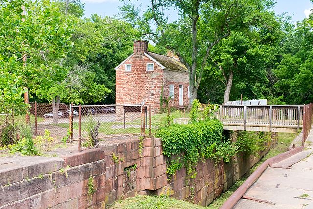
C&O Canal Lock 24 with Riley's Lockhouse in 2016


