Northampton, Western Australia
Videos
Page
Northampton is a town 52 kilometres (32 mi) north of Geraldton, in the Mid West region of Western Australia. At the 2011 census, the town had a population of 868. The town contains a National Trust building. The town lies on the North West Coastal Highway. Originally called The Mines, Northampton was gazetted in 1864 and named after the colony's Governor, John Hampton. The town was sited in the Nokanena Brook valley, between the hamlets around the two major copper mines in the area, the Wanerenooka and the Gwalla.
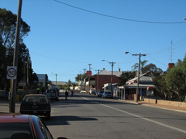
Hampton Street
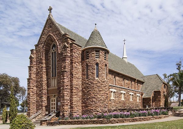
West front of the Church of Our Lady in Ara Coeli
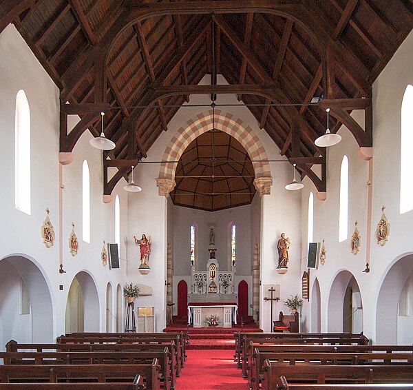
Church of Our Lady in Ara Coeli, interior
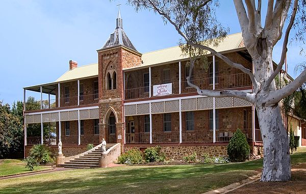
Former Sacred Heart Convent
North West Coastal Highway
Videos
Page
North West Coastal Highway is a generally north-south Western Australian highway which links the coastal city of Geraldton with the town of Port Hedland. The 1,300-kilometre-long (808 mi) road, constructed as a sealed two-lane single carriageway, travels through remote and largely arid landscapes. Carnarvon is the only large settlement on the highway, and is an oasis within the harsh surrounding environment. The entire highway is allocated National Route 1, part of Australia's Highway 1, and parts of the highway are included in tourist routes Batavia Coast Tourist Way and Cossack Tourist Way. Economically, North West Coastal Highway is an important link to the Mid West, Gascoyne and Pilbara regions, supporting the agricultural, pastoral, fishing, and tourism industries, as well as mining and offshore oil and gas production.
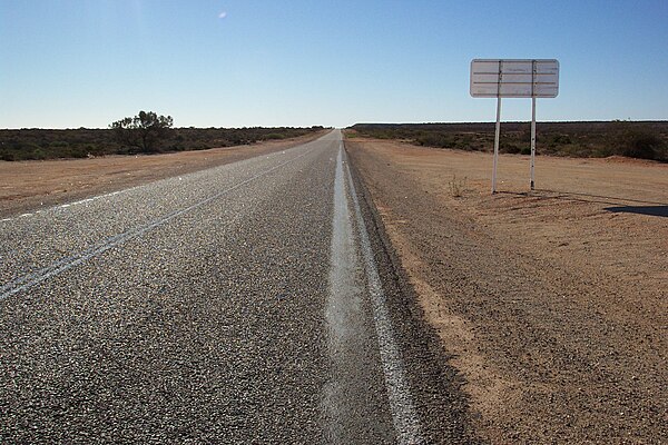
View south along North West Coastal Highway, about 27 km (17 mi) south of the Wooramel Roadhouse
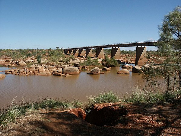
Crossing the Ashburton River
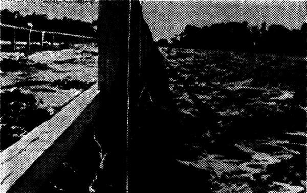
The flooded Gascoyne River in Carnarvon, 1942, with water rushing over the deck of the bridge. During such floods, roads could become bogs or be completely washed away.
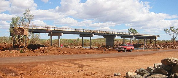
Maitland River bridge following Cyclone Monty, 2004