The Ochoco Mountains are a mountain range in central Oregon in the United States, located at the western end of the Blue Mountains. They were formed when Permian, Triassic, and Jurassic rocks were slowly uplifted by volcanic eruptions to form the Clarno Formation. Today, the highest point in the range is Lookout Mountain. The dominant vegetation on the west side of the range is old-growth ponderosa pine; on the east side, western juniper is common. The western area of the mountains is administered by the Ochoco National Forest, while the southeastern section is part of the Malheur National Forest. The Ochoco Mountains are used for hiking, camping, bird watching, rockhounding, and hunting, as well as cross-country skiing in the winter.
Steins Pillar in ponderosa pine forest
Ponderosa pine forest in the Deep Springs area
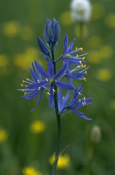
Camas flower at Big Summit Prairie
Walton Lake and meadow in the Ochoco Mountains
Blue Mountains (Pacific Northwest)
The Blue Mountains are a mountain range in the northwestern United States, located largely in northeastern Oregon and stretching into extreme southeastern Washington. The range has an area of about 15,000 square miles (39,000 km2), stretching east and southeast of Pendleton, Oregon, to the Snake River along the Oregon–Idaho border.
Baker City, Oregon, with the Blue Mountains in the background, seen from the National Historic Oregon Trail Interpretive Center observatory


