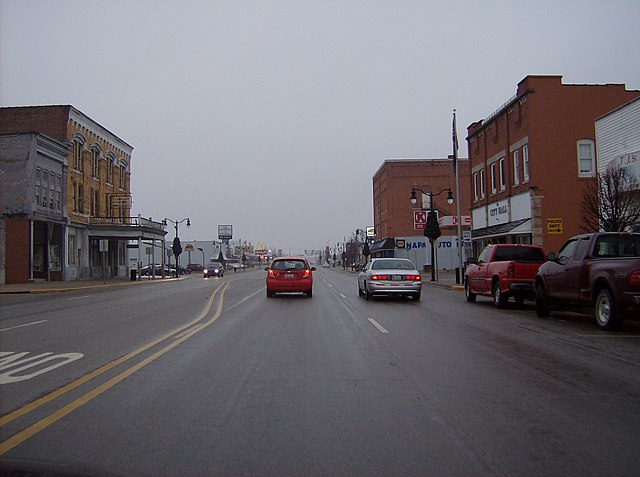
State Route 119 is an east–west highway serving rural sections of west-central Ohio. It begins just west of Fort Recovery at the eastern terminus of Indiana State Road 26. It travels through Mercer, Auglaize, and Shelby counties to end at SR 65 in Jackson Township, Shelby County. The route is 42-mile-long (68 km) and serves the medium-size villages of Fort Recovery, St. Henry, Minster, and Anna.
Looking east along SR 119 in St. Rose, Mercer County. The steeple of St. John the Baptist Catholic Church in Maria Stein is visible in the background.
State Road 26 is an east–west discontinuous state road in the central part of the US state of Indiana. The western end of the western segment is at the Illinois border, where it continues as Illinois Route 9. The highway passes through rural areas of Warren and Tippecanoe counties, before ending near West Lafayette. The eastern segment begins at an interchange with Interstate 65 (I-65) and heads east passing through the cities of Kokomo, Hartford City, and Portland, before ending at the Ohio border, where it continues east as Ohio State Route 119. The road covers a distance of about 150.1 miles (241.6 km), passing through mostly rural areas.
SR 26 through Point Isabel.
Meridian Street in Portland.


