State Route 88 is a highway generally running in an east–west direction in the northeastern portion of the U.S. state of Ohio. Its southern terminus is in Portage County at SR 59 at the intersection of Freedom Street with Main Street in Ravenna. SR 88 is labeled north-south southwest of U.S. Route 422 (US 422) and SR 168/SR 528, and labeled east-west east of there. SR follows a northerly direction for a little more than one mile (1.6 km) along Freedom Street, to the SR 14 and SR 44 concurrency bypass. From here, the route heads in a northeasterly direction. Its next intersection is with SR 700, at the southern terminus of the latter route. One-quarter mile (0.40 km) further to the northeast, SR 88 joins SR 303 for about one-half mile (0.80 km). SR 88 then continues northeast, crossing over Interstate 80 and the Ohio Turnpike, before turning due north as it enters Garrettsville. Here, as South Street, the route intersects SR 82, then becomes North Street before exiting the corporation limits.

SR 88 crossing Mosquito Creek Lake
Portage County is a county in the U.S. state of Ohio. As of the 2020 census, the population was 161,791. Located in Northeast Ohio, Portage County is part of the Akron Metropolitan Statistical Area, which is also included in the Cleveland–Akron–Canton Combined Statistical Area. Its county seat is Ravenna and its largest city is Kent. The county, named for the portage between the Cuyahoga and Tuscarawas rivers, was created in 1807 and formally organized in 1808. In addition to the cities of Kent and Ravenna, Portage County also includes the cities of Aurora and Streetsboro, along with five villages, 18 civil townships, and several unincorporated places within those townships. Additionally, the county includes parts of the city of Tallmadge, and part of the village of Mogadore, both of which are mostly in neighboring Summit County.
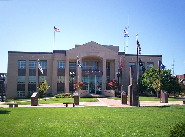
Portage County Courthouse
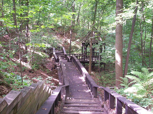
Gazebo at Towner's Woods Park in Franklin Township, part of the county park system
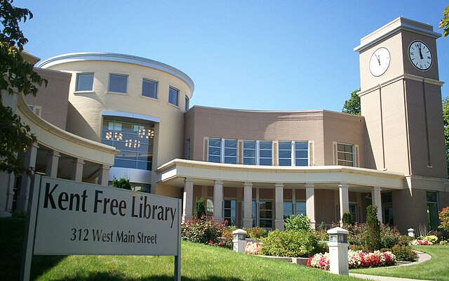
Kent Free Library in Kent


