Ohio State Route 93
Videos
Page
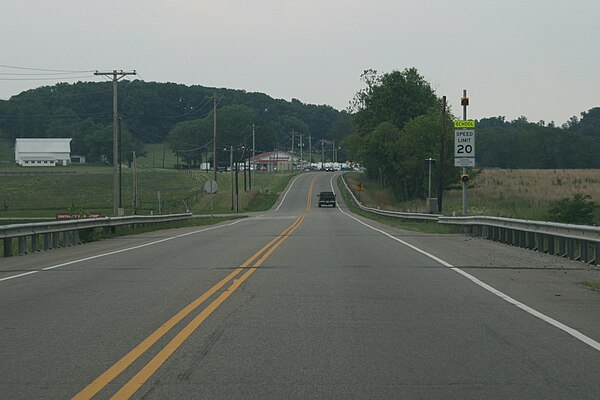
State Route 93 is a north–south highway that stretches from Ironton on the Oakley C. Collins Memorial Bridge to State Route 261 in Akron. At a length of 234 miles (377 km), it is the third longest state route in Ohio. The route from Ironton to West Lafayette was once signed as State Route 75. In 1962, to eliminate confusion with an interstate in Ohio having the same number, State Route 75 was replaced by State Route 93 which had previously terminated in West Lafayette.
A view of SR 93 while traveling south of Jackson, Ohio toward Oak Hill, Ohio. On the left is Jackson Southview Elementary and the OSU/URG Extension buildings
U.S. Route 52 in Ohio
Videos
Page
U.S. Route 52 runs east–west across the southern part of the state of Ohio along the Ohio River, passing through or very near the cities and towns of Cincinnati, Portsmouth, and Ironton. For its first 19 miles (31 km) or so, the highway runs concurrently with Interstate 74 (I-74) and I-75 before it winds through downtown Cincinnati for several miles. The route is primarily two lanes between New Richmond and West Portsmouth, Ohio, where it becomes a four-lane partial access highway until it exits the state near Chesapeake.

Mehring Way in Downtown Cincinnati
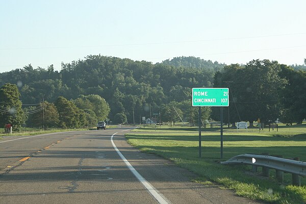
US 52 near SR 125 in Friendship, OH