King's Highway 141, commonly referred to as Highway 141, is a provincially maintained highway in the Canadian province of Ontario. Its western terminus is at Highway 400 south of Horseshoe Lake in Seguin Township while its eastern terminus is at Highway 11 near Port Sydney. The route was designated in 1974 when Highway 532 was renumbered and upgraded from a secondary highway to a King's Highway. The route has remained generally unchanged since, though it was extended by several kilometres on October 7, 2003 when Highway 400 was extended north of Mactier.
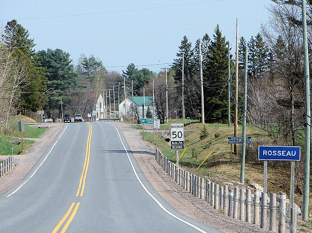
Highway 141 in Rosseau
King's Highway 400, commonly referred to as Highway 400, historically as the Toronto–Barrie Highway, and colloquially as the 400, is a 400-series highway in the Canadian province of Ontario linking the city of Toronto in the urban and agricultural south of the province with the scenic and sparsely populated central and northern regions. The portion of the highway between Toronto and Lake Simcoe roughly traces the route of the Toronto Carrying-Place Trail, a historic trail between the Lower and Upper Great Lakes. North of Highway 12, in combination with Highway 69, it forms a branch of the Trans-Canada Highway (TCH), the Georgian Bay Route, and is part of the highest-capacity route from southern Ontario to the Canadian West, via a connection with the mainline of the TCH in Sudbury. The highway also serves as the primary route from Toronto to southern Georgian Bay and Muskoka, areas collectively known as cottage country. The highway is patrolled by the Ontario Provincial Police and has a speed limit of 100 km/h (62 mph), except for the section south of Highway 401, where the speed limit is 80 km/h (50 mph).

Interchange of Highway 400 and 401, looking towards the south. The exit ramp to Highway 401 westbound is often congested.
Accidents between the distant interchanges on Highway 400 can cripple movement for several kilometres and hours
Twinning through the "Wahta Gap" in 2007
Widening work in King Township in 2020