The Oxia Palus quadrangle is one of a series of 30 quadrangle maps of Mars used by the United States Geological Survey (USGS) Astrogeology Research Program. The Oxia Palus quadrangle is also referred to as MC-11.
Image of the Oxia Palus Quadrangle (MC-11). The region contains heavily cratered highlands in the southeast which are intersected by several large outflow channels terminating in the relatively smooth plains of Chryse basin in the northwest.
The Sojourner Rover is taking its Alpha Proton X-ray Spectrometer measurement of the Yogi Rock (NASA). Note: Sojourner Rover was the rover part of the Mars Pathfinder. It rolled off of the lander. This picture was taken by the lander.
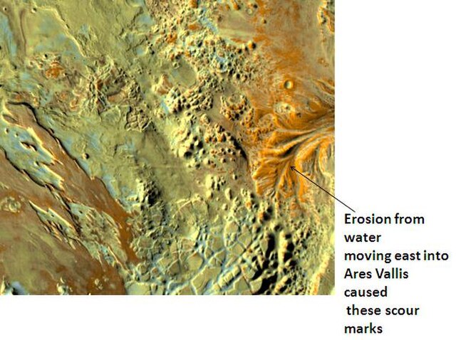
Erosion in Aram Chaos, as seen by THEMIS
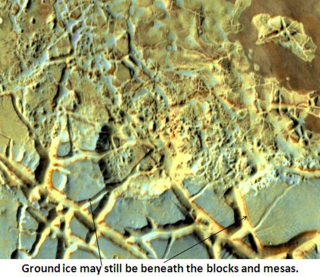
Blocks in Aram showing possible source of water, as seen by THEMIS
Chryse Planitia is a smooth circular plain in the northern equatorial region of Mars close to the Tharsis region to the west, centered at 28.4°N 319.7°E. Chryse Planitia lies partially in the Lunae Palus quadrangle, partially in the Oxia Palus quadrangle, partially in the Mare Acidalium quadrangle. It is 1600 km or 994 mi in diameter and with a floor 2.5 km below the average planetary surface altitude, and has been suggested to be an ancient buried impact basin, though this is contested. It has several features in common with lunar maria, such as wrinkle ridges. The density of impact craters in the 100 to 2,000 metres range is close to half the average for lunar maria.
Waters from Vedra Valles, Maumee Valles, and Maja Valles went from Lunae Planum on the left, to Chryse Planitia on the right. Image is located in Lunae Palus quadrangle and was taken by Viking Orbiter.
Ares Vallis, capture by Viking and edited as a false color image. The channel is 25 km wide and about 1 km deep. It would be quite spectacular to walk down this valley.


