The Ozarks, also known as the Ozark Mountains, Ozark Highlands or Ozark Plateau, is a physiographic region in the U.S. states of Missouri, Arkansas, Oklahoma and the extreme southeastern corner of Kansas. The Ozarks cover a significant portion of northern Arkansas and most of the southern half of Missouri, extending from Interstate 40 in central Arkansas to Interstate 70 in central Missouri.
View of the Ozarks from the Buffalo National River, Newton County, Arkansas
Image: Ozark Overview
A rural Ozarks scene. Phelps County, Missouri
The Saint Francois Mountains, viewed here from Knob Lick Mountain, are the exposed geologic core of the Ozarks.
Missouri is a landlocked state in the Midwestern region of the United States. Ranking 21st in land area, it borders Iowa to the north, Illinois, Kentucky and Tennessee to the east, Arkansas to the south and Oklahoma, Kansas, and Nebraska to the west. In the south are the Ozarks, a forested highland, providing timber, minerals, and recreation. The Missouri River, after which the state is named, flows through the center and into the Mississippi River, which makes up the eastern border. With over six million residents, it is the 18th-most populous state of the country. The largest urban areas are St. Louis, Kansas City, Springfield, and Columbia; the capital is Jefferson City.
Missouri
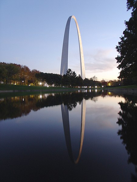
The Gateway Arch in St. Louis
Fur Traders Descending the Missouri by Missouri painter George Caleb Bingham
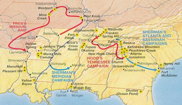
Price's Raid in the Trans-Mississippi Theater, 1864


