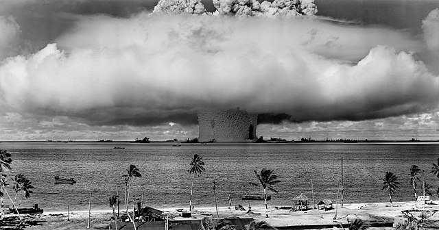
The Pacific Proving Grounds was the name given by the United States government to a number of sites in the Marshall Islands and a few other sites in the Pacific Ocean at which it conducted nuclear testing between 1946 and 1962. The U.S. tested a nuclear weapon on Bikini Atoll on June 30, 1946. This was followed by Baker on July 24, 1946.
The United States began using the Marshall Islands as a nuclear testing site beginning in 1946.
The "Baker" shot of Operation Crossroads in 1946 was an underwater shot.
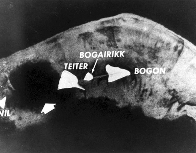
After the Ivy Mike shot, only a large crater (at left) remained of the island of Elugelab.
The Marshall Islands, officially the Republic of the Marshall Islands, is an island country west of the International Date Line and north of the equator in the Micronesia region in the Northwestern Pacific Ocean. The territory consists of 29 coral atolls and five islands, divided across two island chains: Ratak in the east and Ralik in the west. 97.87% of its territory is water, the largest proportion of water to land of any sovereign state. The country shares maritime boundaries with Wake Island to the north, Kiribati to the southeast, Nauru to the south, and the Federated States of Micronesia to the west. The capital and largest city is Majuro, home to approximately half of the country's population.
Marshall Islanders sailing, with sails brailed (reefed), c. 1899–1900
Manila Galleon in the Marianas and Carolines, c. 1590 Boxer Codex
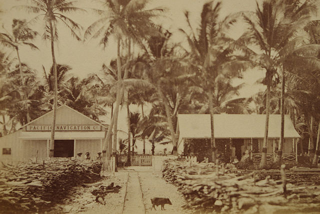
Offices of the Pacific Navigation Co. at Jaluit Atoll in the late 1880s
German colonial administration building at Jaluit Atoll in 1886


