Palo Duro Canyon is a canyon system of the Caprock Escarpment located in the Texas Panhandle near the cities of Amarillo and Canyon. As one of the largest canyons in the United States, it is roughly 25–40 mi (40–64 km) long and has an average width of 6 mi (9.7 km), but reaches a width of 20 mi (32 km) at places. Its depth is around 800 ft (240 m), but in some locations, valley bottom to surrounding hills increases to 1,000 ft (300 m). Palo Duro Canyon has been named "The Grand Canyon of Texas" both for its size and for its dramatic geological features, including the multicolored layers of rock and steep mesa walls, which are similar to those in the Grand Canyon. It is part of Palo Duro Canyon State Park. The State Park had 442,242 visitors in 2022.
View from the Interpretive Center
The Lighthouse
Panoramic view of the Palo Duro Canyon showing the Quartermaster, Tecovas, Trujillo, and Ogallala formations
Capitol Peak
A canyon, gorge or chasm, is a deep cleft between escarpments or cliffs resulting from weathering and the erosive activity of a river over geologic time scales. Rivers have a natural tendency to cut through underlying surfaces, eventually wearing away rock layers as sediments are removed downstream. A river bed will gradually reach a baseline elevation, which is the same elevation as the body of water into which the river drains. The processes of weathering and erosion will form canyons when the river's headwaters and estuary are at significantly different elevations, particularly through regions where softer rock layers are intermingled with harder layers more resistant to weathering.
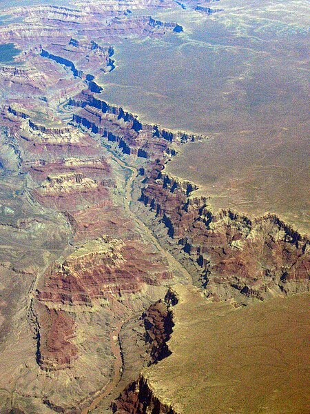
The Grand Canyon, Arizona, at the confluence of the Colorado River and Little Colorado River.
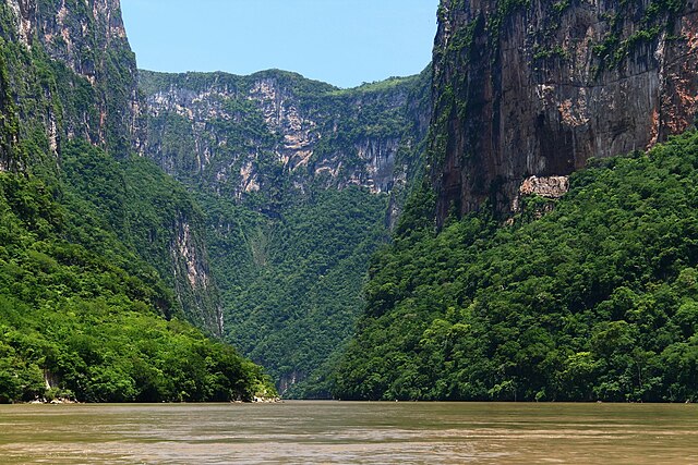
Sumidero Canyon, Mexico
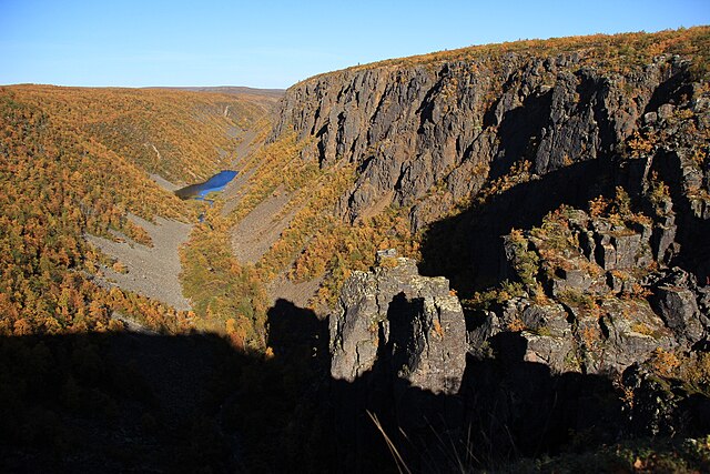
Kevo Canyon in Utsjoki, Finland
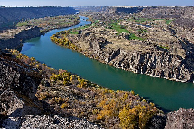
Snake River Canyon, Idaho


