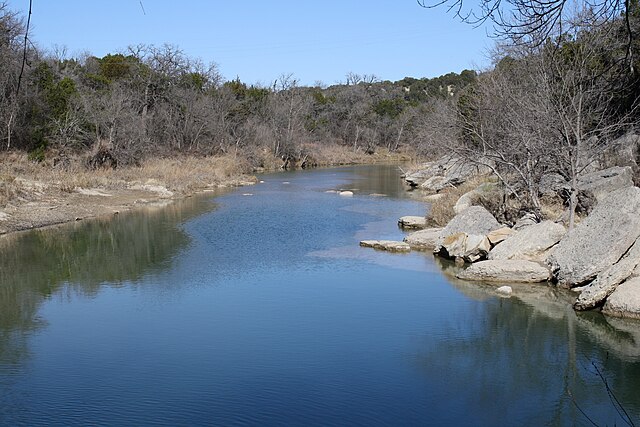
The Paluxy River, also known as Paluxy Creek, is a river in the U.S. state of Texas. It is a tributary of the Brazos River. It is formed by the convergence of the North Paluxy River and the South Paluxy River near Bluff Dale, Texas in Erath County and flows a distance of 29 miles (47 km) before joining the Brazos just to the east of Glen Rose, Texas in south central Somervell County.
Part of the river in 2009
Dinosaur track by the river
Slab of the trackway mounted at the AMNH, with Apatosaurus in the background
Collapsed track with elongate shape
The Brazos River, called the Río de los Brazos de Dios by early Spanish explorers, is the 14th-longest river in the United States at 1,280 miles (2,060 km) from its headwater source at the head of Blackwater Draw, Roosevelt County, New Mexico to its mouth at the Gulf of Mexico with a 45,000-square-mile (116,000 km2) drainage basin. Being one of Texas' largest rivers, it is sometimes used to mark the boundary between East Texas and West Texas.
Brazos River downstream of Possum Kingdom Lake, Palo Pinto County, Texas
Salt Fork Brazos River in Kent County, Texas
Double Mountain Fork Brazos River north of Rotan, Texas.
Double Mountain Fork Brazos River at the site of former Rath City, Texas


