Panama Canal
Videos
The Panama Canal is an artificial 82-kilometer waterway in Panama that connects the Caribbean Sea with the Pacific Ocean. It cuts across the narrowest point of the Isthmus of Panama, and is a conduit
Ferdinand de Lesseps, the French originator of the Suez Canal and the Panama Canal


Part de Fondateur of the Compagnie Universelle du Canal Interocéanique de Panama, issued 29 November 1880
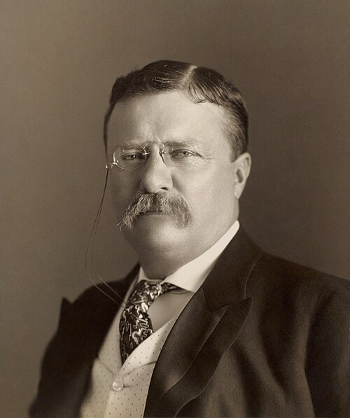
United States President Theodore Roosevelt (1901–1909), the driving force behind US construction of the Panama Canal.

The US's intentions to influence the area (especially the Panama Canal construction and control) led to the separation of Panama from Colombia in 1903.
Panama
Videos
Panama, officially the Republic of Panama, is a country located at the southern end of Central America in North America, bordering South America. It is bordered by Costa Rica to the west, Colombia to
Panama Canal
…The Panama Canal (Spanish: Canal de Panamá) is an artificial 82-kilometer (51-mile) waterway in Panama that connects the Caribbean Sea with the Pacific Ocean. It cuts across the narrowest point of the Isthmus of Panama, and is a conduit for maritime trade…

Embera girl dressed for a dance

Vasco Núñez de Balboa, a recognized and popular figure of Panamanian history

"New Caledonia", the ill-fated Scottish Darien scheme colony in the Bay of Caledonia, west of the Gulf of Darién

Santo Domingo Church