Panoramio was a geo-located tagging, photo sharing mashup active between 2005 and 2016. Photos uploaded to the site were accessible as a layer in Google Earth and Google Maps. The site's goal was to allow Google Earth users to learn more about a given area by viewing the photos that other users had taken at that location. Panoramio was acquired by Google in 2007. In 2009 the website was among the 1000 most popular websites worldwide.
Joaquín Cuenca and Eduardo Manchón, the creators of Panoramio.
Sample Panoramio page (of user 656563) exemplifying some of the mashup's options.
Geotagging, or GeoTagging, is the process of adding geographical identification metadata to various media such as a geotagged photograph or video, websites, SMS messages, QR Codes or RSS feeds and is a form of geospatial metadata. This data usually consists of latitude and longitude coordinates, though they can also include altitude, bearing, distance, accuracy data, and place names, and perhaps a time stamp.
Geotag information stamped onto a JPEG photo by the software GPStamper
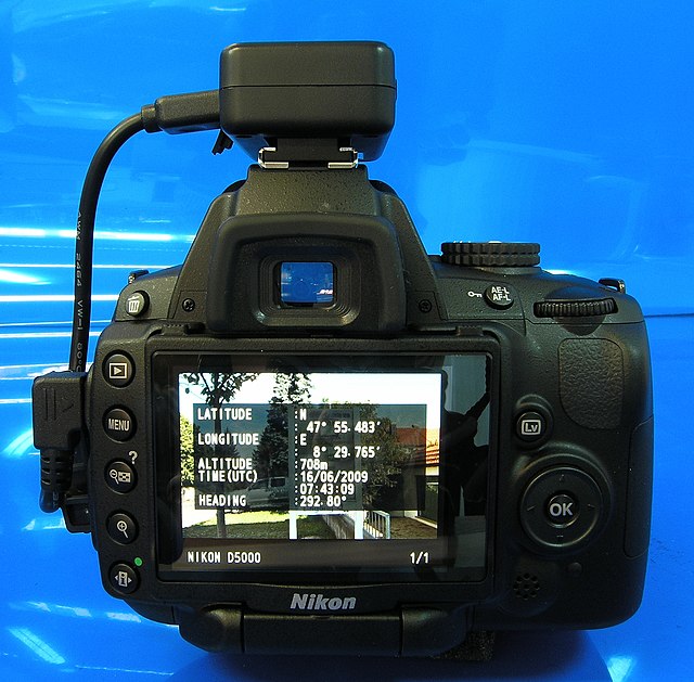
Geotagger "Solmeta N2" for the Nikon D5000 DSLR