Parkdale is a neighbourhood and former village in Toronto, Ontario, Canada, west of downtown. The neighbourhood is bounded on the west by Roncesvalles Avenue, on the north by the CP Rail line where it crosses Queen Street and Dundas Street. It is bounded on the east by Dufferin Street from Queen Street south, and on the south by Lake Ontario. The original village incorporated an area north of Queen Street, east of Roncesvalles from Fermanagh east to the main rail lines, today known as part of the Roncesvalles neighbourhood. The village area was roughly one square kilometre in area. The City of Toronto government extends the neighbourhood boundaries to the east, south of the CP Rail lines, east to Atlantic Avenue, as far south as the CN Rail lines north of Exhibition Place, the part south of King Street commonly known as the western half of Liberty Village neighbourhood.
Parkdale from the southwest of Roncesvalles Avenue and The Queensway
Victorian-era row homes are found at Melbourne Place in Parkdale.
Parkdale's commercial districts are located on King Street and Queen Street West.
Parkdale railway station in 1898. The railway station opened in 1856.
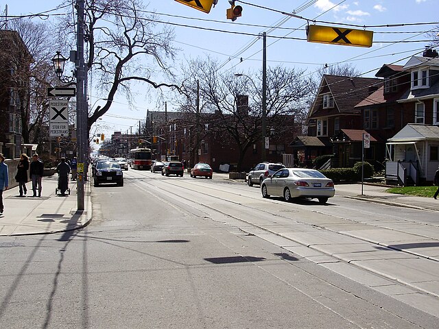
Roncesvalles Avenue is a north–south minor arterial street in Toronto, Ontario, Canada. It begins at the intersection of Queen Street West, King Street West and the Queensway running north to Dundas Street West. At its southern starting point, King Street West traffic continues northward onto Roncesvalles Avenue unless the traffic turns east or west onto Queen Street West or the Queensway. At its northern end point, traffic continues onto Dundas Street, which is essentially a straight-line northern extension of Roncesvalles.
The 504 King streetcar provides regular transit service along the length of Roncesvalles Avenue
Bumpout on Roncesvalles Avenue serving as both a streetcar loading platform as well as a bicycle lane


