Parkville is an unincorporated community and census-designated place in Baltimore County, Maryland, United States. As of the 2010 census, the population was 30,734.
Townhomes on a residential street in the Ridgeleigh area of Parkville, Maryland
Interstate 695 (Maryland)
Interstate 695 (I-695) is a 51.46-mile-long (82.82 km) auxiliary Interstate Highway that constitutes a beltway extending around Baltimore, Maryland, United States. I-695 is officially designated the McKeldin Beltway but is colloquially referred to as either the Baltimore Beltway or 695. The route is an auxiliary route of I-95, intersecting that route southwest of Baltimore near Arbutus and northeast of the city near White Marsh. It also intersects other major roads radiating from the Baltimore area, including I-97 near Glen Burnie, the Baltimore–Washington Parkway near Linthicum, I-70 near Woodlawn, I-795 near Pikesville, and I-83 in the Timonium area. The 19.37-mile (31.17 km) portion of the Baltimore Beltway between I-95 northeast of Baltimore and I-97 south of Baltimore is officially Maryland Route 695 (MD 695) and is not part of the Interstate Highway System but is signed as I-695. The Francis Scott Key Bridge that crossed over the Patapsco River was included in this section of the route before the bridge's collapse on March 26, 2024. The bridge and its approaches were maintained by the Maryland Transportation Authority (MDTA), while the remainder of the Baltimore Beltway is maintained by the Maryland State Highway Administration (MDSHA).

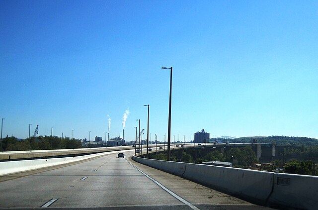
Curtis Creek Drawbridges as seen from I-695 outer; the center of the bascule bridge marks mile marker 0.0. In the distance at top right is the Francis Scott Key Bridge further east along I-695, which collapsed in 2024.
Inner Loop signage along the beltway between exits 9 and 10 in Halethorpe
I-695 southbound at its southern junction with I-95 in Arbutus
I-695 westbound near split with I-83 southbound northwest of Baltimore


