Patapsco Valley State Park
Patapsco Valley State Park is a Maryland state park extending along 32 miles (51 km) of the Patapsco River south and west of the city of Baltimore, Maryland. The park encompasses multiple developed areas on over 14,000 acres (5,700 ha) acres of land, making it Maryland's largest state park. In 2006, it was officially celebrated as Maryland's first state park, its first formation being in 1906. Patapsco Valley State Park is managed by the Maryland Department of Natural Resources.
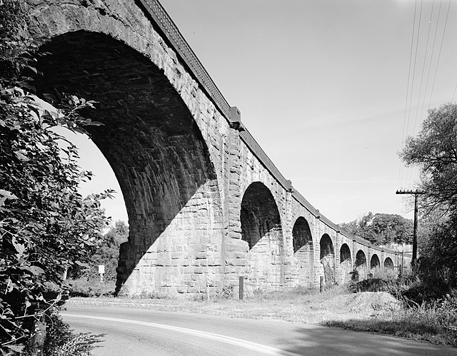
The Thomas Viaduct, a signature monument of Patapsco Valley State Park
Tunnel along Grist Mill Trail, Avalon Area. CSX Railroad runs above tunnel.
View of the Cascade Falls waterfall, Orange Grove Area.
The Patapsco River mainstem is a 39-mile (63 km) river in central Maryland that flows into the Chesapeake Bay. The river's tidal portion forms the harbor for the city of Baltimore. With its South Branch, the Patapsco forms the northern border of Howard County, Maryland. The name "Patapsco" is derived from the Algonquian pota-psk-ut, which translates to "backwater" or "tide covered with froth".
Patapsco Valley State Park at Catonsville
The Inner Harbor viewed from the Baltimore Aquarium
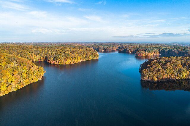
Liberty Reservoir
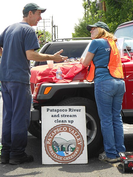
Volunteers at a community cleanup of Herbert Run, a tributary of the Patapsco River running through Arbutus, Maryland


