Paulista Avenue is one of the most important avenues in São Paulo, Brazil. It stretches 2.8 kilometres (1.7 mi) and runs northwest to southeast. Its northwest point is Praça Marechal Cordeiro de Farias at its intersection with Rua da Consolação and its southeast point is Praça Oswaldo Cruz at its intersection with Treze de Maio, Bernardino de Campos, Desembargador Eliseu Guilherme, and Dr. Rafael de Barros avenues. Major crossroads on the street are Rua Augusta, Rua Haddock Lobo and Avenida Brigadeiro Luis Antonio. Parallel to it are Cincinato Braga, Joaquim Eugenio de Lima on the Bela Vista/Paraíso side and Alameda Santos and Coronel Oscar Freire on the Jardins side. Paulista Avenue crosses sections of the neighborhoods of Paraíso, Bela Vista, Jardim Paulista, Cerqueira César and Jardim América, ending in Higienópolis.
The avenue at night.
First painting of Avenida Paulista, by Martin Jules.
Avenida Paulista at night.
Consolação sation of São Paulo Metro
São Paulo is the most populous city in Brazil and the capital of the state of São Paulo. Listed by the GaWC as an alpha global city, São Paulo is the most populous city outside of Asia and the world's 20th-largest city proper by population. Additionally, São Paulo is the largest Portuguese-speaking city in the world. It exerts strong international influences in commerce, finance, arts, and entertainment. The city's name honors the Apostle, Saint Paul of Tarsus. The city's metropolitan area, the Greater São Paulo, ranks as the most populous in Brazil and the 12th-most-populous on Earth. The process of conurbation between the metropolitan areas around the Greater São Paulo created the São Paulo Macrometropolis, a megalopolis with more than 30 million inhabitants, one of the most populous urban agglomerations in the world.
Image: Bairro dos jardins em são paulo (1) (cropped)
Image: Catedral Metropolitana de Sao Paulo 3 Brasil
Image: Mausoléu ao soldado constitucionalista de 1932 04
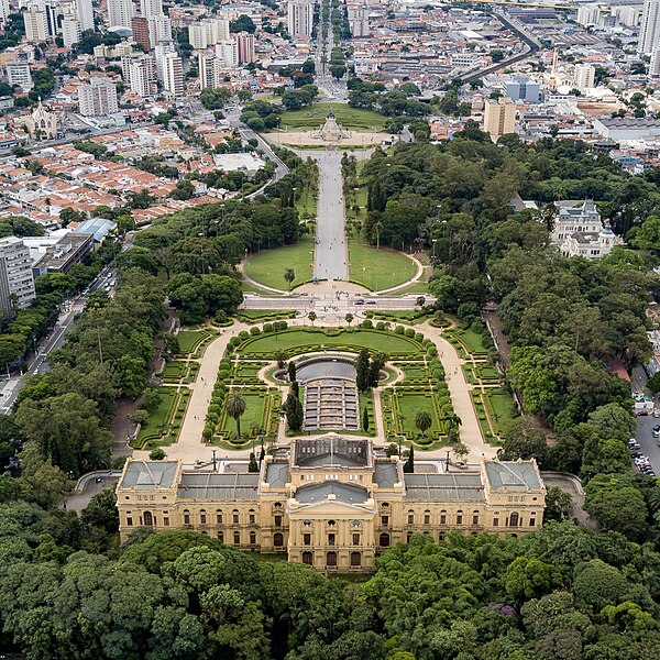
Image: Webysther 20190304150658 Parque da Independência


