Pawnee National Grassland
Pawnee National Grassland is a United States National Grassland located in northeastern Colorado on the Colorado Eastern Plains. The grassland is located in the South Platte River basin in remote northern and extreme northeastern Weld County between Greeley and Sterling. It comprises two parcels totaling 193,060 acres (78,130 ha) largely between State Highway 14 and the Wyoming border. The larger eastern parcel lies adjacent to the borders of both Nebraska and Wyoming. It is administered in conjunction with the Arapaho-Roosevelt National Forest from the U.S. Forest Service office in Fort Collins, with a local ranger district office in Greeley.
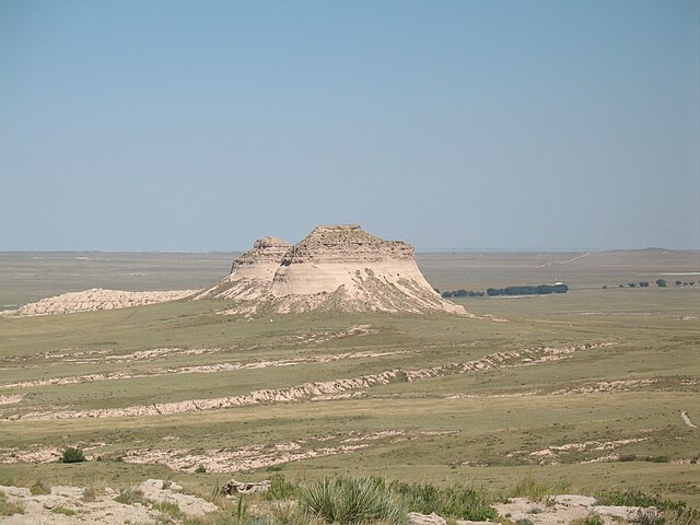
The Pawnee Buttes in Pawnee National Grassland
One of the signs marking the entrance to the grassland. This one is at the west side along State Highway 14.
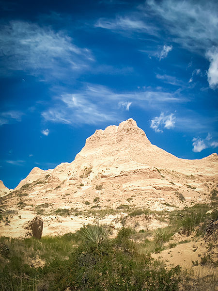
Rock formation near the Pawnee Buttes.
Sunrise over the grassland.
A national grassland is an area of protected and managed federal lands in the United States authorized by Title III of the Bankhead–Jones Farm Tenant Act of 1937 and managed by the United States Forest Service. For administrative purposes, they are essentially identical to national forests, except that grasslands are areas primarily consisting of prairie. Like national forests, national grasslands may be open for hunting, grazing, mineral extraction, recreation and other uses. Various national grasslands are typically administered in conjunction with nearby national forests.
Entrance sign of a United States National Grassland area in South Dakota
Image: Black Kettle National Grassland
Image: Buffalogap Charon
Image: Butte Valley twotrees


