Peckforton is a scattered settlement and civil parish in the unitary authority of Cheshire East and the ceremonial county of Cheshire, England. The settlement is located 6.5 miles (10.5 km) to the north east of Malpas and 7.5 miles (12.1 km) to the west of Nantwich. The civil parish covers 1,754 acres (710 ha), with an estimated total population of 150 in 2006. The area is predominantly agricultural. Nearby villages include Bulkeley to the south, Beeston to the north, Higher Burwardsley to the west, Spurstow to the east and Bunbury to the north east.
Black and White Cottage, in Peckforton village centre
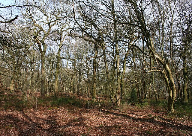
Peckforton Woods on Stanner Nab
Farmland by Peckforton Moss
Peckforton and Beeston Castles from Stanner Nab
Cheshire East is a unitary authority area with borough status in Cheshire, England. The local authority is Cheshire East Council, which is based in the town of Sandbach. Other towns within the area include Crewe, Macclesfield, Congleton, Wilmslow, Nantwich, Poynton, Knutsford, Alsager, Bollington and Handforth.
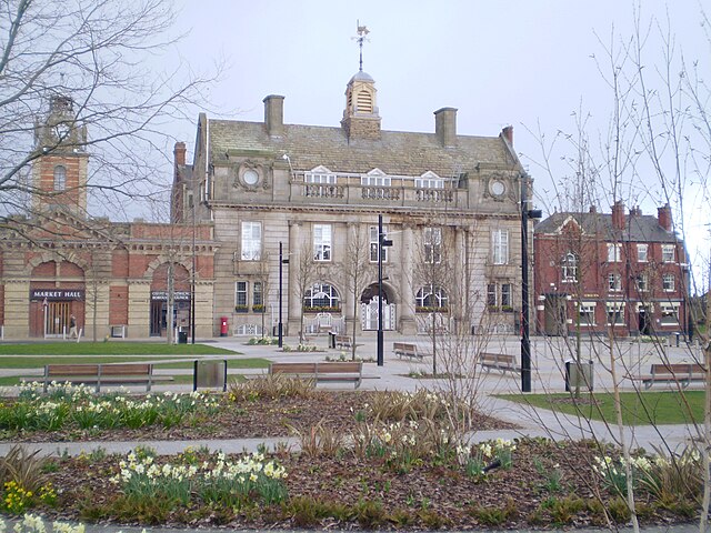
Crewe, a historic railway town and the largest town in Cheshire East
Image: Official portrait of Fiona Bruce crop 2
Image: Official portrait of Dr Kieran Mullan MP crop 2
Image: Official portrait of Edward Timpson MP crop 2


