The Pellissippi Parkway is a major highway in Knox and Blount counties in the Knoxville metropolitan area in Tennessee that extends 19.75 miles (31.78 km) from State Route 62 at Solway to SR 33 in Alcoa. It provides access to the cities of Oak Ridge and Maryville from Interstates 40 and 75 in the western part of Knoxville and also serves a major corridor that includes Oak Ridge National Laboratory, Y-12 National Security Complex, and a number of science and technology firms. The central portion of the Pellissippi Parkway is included in the Interstate Highway System and is designated Interstate 140 (I-140), while the remainder is designated as State Route 162. The entire highway is part of the National Highway System, a national network of roads identified as important to the national economy, defense, and mobility. It takes its name from an older name for the Clinch River of Native American origin.
The Pellissippi Parkway (I-140 eastbound) at the Westland Drive interchange
Knox County is located in the U.S. state of Tennessee. As of the 2020 census, the population was 478,971, making it the third-most populous county in Tennessee. Its county seat is Knoxville, which is the third-most populous city in Tennessee. Knox County is included in the Knoxville metropolitan area. The county is located at the geographical center of the Great Valley of East Tennessee. Near the heart of the county is the origin of the Tennessee River, at the confluence of the Holston and French Broad rivers.
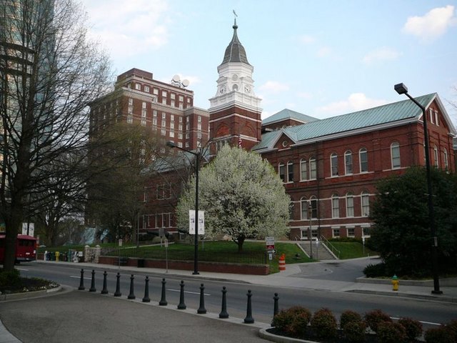
Knox County Courthouse
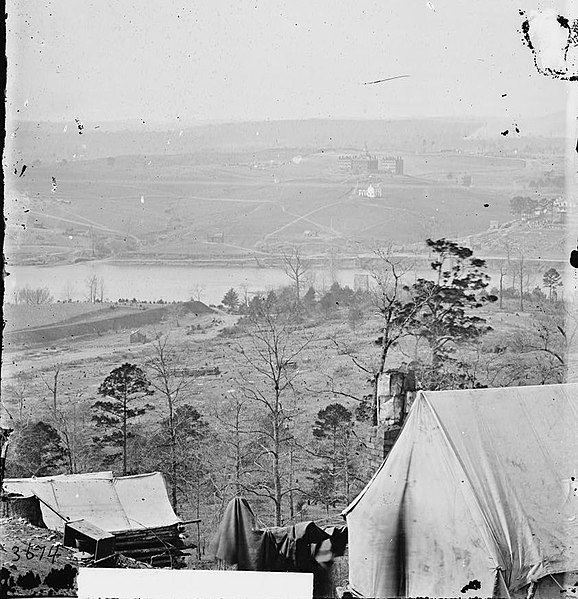
View from the south bank of the Tennessee River by Union photographer George C. Barnard after the end of the Siege of Knoxville, December 1863. Source: Library of Congress
House Mountain, Knox County's high point, viewed from Emory Road, near the Knox–Grainger line