The Pembrokeshire Coast Path, often called the Pembrokeshire Coastal Path, is a designated National Trail in Pembrokeshire, southwest Wales. Established in 1970, it is a 186-mile (299 km) long-distance walking route, mostly at cliff-top level, with a total of 35,000 feet (11,000 m) of ascent and descent. At its highest point – Pen yr afr, on Cemaes Head – it reaches a height of 574 feet (175 m), and at its lowest point – Sandy Haven crossing, near Milford Haven – it is just 6 feet (2 m) above low water. Whilst most of the coastline faces west, it offers – at varying points – coastal views in every direction of the compass.
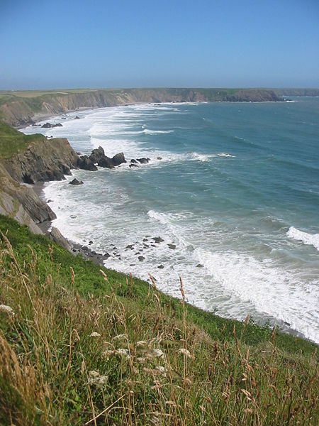
View from the Pembrokeshire Coast Path on Marloes peninsula
The plaque at the northern end of the Pembrokeshire Coast Path at St Dogmaels
Poppit Sands, near the northern end of the trail
Near Ceibwr Bay, looking north towards Cemaes Head
Pembrokeshire is a county in the south-west of Wales. It is bordered by Carmarthenshire to the east, Ceredigion to the northeast, and otherwise by the sea. Haverfordwest is the largest town and administrative headquarters of Pembrokeshire County Council.
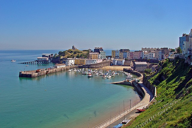
Tenby in southeast Pembrokeshire
View from the bluestone quarry to other peaks in the Preselis
Pentre Ifan neolithic burial chamber
Pembroke Castle, birthplace of Henry VII


