Pennsylvania Route 512 is a 26.1-mile-long (42.0 km) state route in Northampton County in the Lehigh Valley region in eastern Pennsylvania. The southern terminus is at U.S. Route 22 north of Bethlehem in Hanover Township. The northern terminus is at PA 611 in Upper Mount Bethel Township. The route heads north from US 22 to Bath, where it intersects PA 248. From here, PA 512 continues northeast and intersects PA 946 in Moorestown before it reaches an interchange with the PA 33 freeway in Wind Gap. The route heads east through the northern Northampton County boroughs of Wind Gap, Pen Argyl, Bangor, and East Bangor, intersecting PA 191 in Bangor. It then continues east to PA 611.
PA 512 northbound past PA 248 in Bath
PA 512 northbound in Plainfield Township
Northampton County, Pennsylvania
Northampton County is a county in the Commonwealth of Pennsylvania, United States. As of the 2020 census, the population was 312,951. Its county seat is Easton. The county was formed in 1752 from parts of Bucks County. Its namesake was the county of Northamptonshire in England, and the county seat of Easton was named for Easton Neston, a country house in Northamptonshire. The county is part of the Southeast Pennsylvania region of the state.
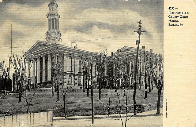
A 1905 illustration of Northampton County Courthouse in Easton
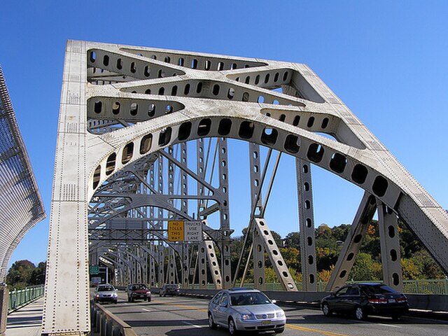
The Easton–Phillipsburg Toll Bridge, which connects Easton in Northampton County with Phillipsburg in northwestern New Jersey in the Lehigh Valley, in October 2009
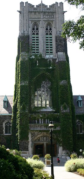
The Alumni Memorial Building at Lehigh University in Bethlehem in August 2005
Freedom High School, one of two large public high schools in the Bethlehem Area School District, in November 2008