Pennsylvania Route 625 is a 16.7-mile-long (26.9 km) state route in east central Pennsylvania, United States. The southern terminus is at PA 23 in East Earl Township. The northern terminus is U.S. Route 222 Business in Reading. PA 625 is a two-lane undivided road its entire length. The route runs through rural areas in the Pennsylvania Dutch Country of northeastern Lancaster County, passing through Bowmansville. PA 625 continues into Berks County and runs through more rural areas, intersecting PA 568 in Knauers before coming to a junction with PA 724. Past this intersection, the route heads into developed areas and passes through Kenhorst before coming to its northern terminus. The route was designated as the westernmost of segment of PA 73 in 1928, which continued past Reading to Philadelphia. By 1940, the entire length of PA 73 between Blue Ball and Reading was completely paved. PA 625 was designated onto its current alignment by 1966 following the rerouting of PA 73 to its current terminus at Leesport.

PA 625 northbound past its southern terminus at PA 23 in East Earl Township
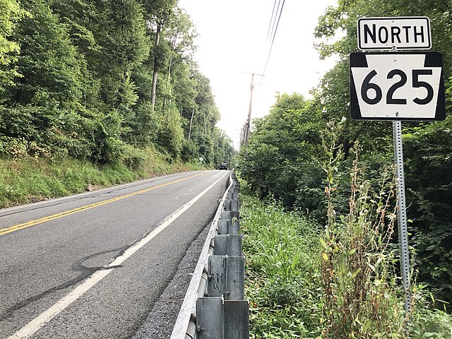
PA 625 northbound in Cumru Township
Pennsylvania Route 23 is an 81.14-mile-long (130.58 km) state highway in southeastern Pennsylvania. The route begins at PA 441 in Marietta and heads east to U.S. Route 1 at City Avenue on the border of Lower Merion Township and Philadelphia. PA 23 begins at Marietta in Lancaster County and continues east to Lancaster, where it passes through the city on a one-way pair of streets and intersects US 222 and US 30.
PA 23 eastbound past PA 625 in East Earl Township
PA 23 westbound past PA 29 in Phoenixville
PA 23 westbound through Valley Forge National Historical Park
PA 23 westbound in West Conshohocken