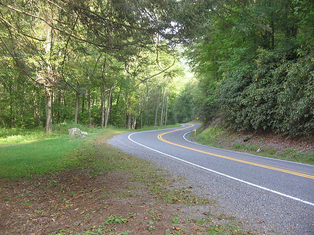
Pennsylvania Route 973 (PA 973) is a highway which runs for 27.3 miles (43.9 km), generally east–west in Lycoming County in north central Pennsylvania in the United States. Its western terminus is on the east bank of Pine Creek at PA 44 in the unincorporated village of Tomb in Watson Township, and its eastern terminus is at the hamlet of Loyalsockville in Upper Fairfield Township at PA 87.
PA 973 from PA 44 in Tomb
PA 973 eastbound in Hepburn Township
The destroyed PA 973 bridge over Loyalsock Creek, seen from PA 87
Pennsylvania Route 44 is a 149.24 mi (240.18 km)-long state highway in the U.S. state of Pennsylvania. The route, which is signed north-south, is designated from Interstate 80 (I-80) and PA 42 in Buckhorn northwest to the New York state line near New York State Route 417 in Ceres Township.
PA 44 northbound one kilometer from its southern terminus at PA 42 in Buckhorn
PA 44 north in Turbotville
PA 44 northbound past US 15 in Gregg Township
PA 44 in Cummings Township, as seen from Upper Pine Bottom State Park