The Periplus of the Erythraean Sea, also known by its Latin name as the Periplus Maris Erythraei, is a Greco-Roman periplus written in Koine Greek that describes navigation and trading opportunities from Roman Egyptian ports like Berenice Troglodytica along the coast of the Red Sea and others along the Horn of Africa, the Persian Gulf, Arabian Sea and the Indian Ocean, including the modern-day Sindh region of Pakistan and southwestern regions of India.

Coin of the Himyarite Kingdom, southern coast of the Arabian Peninsula, in which ships stopped when passing between Egypt and India. This is an imitation of a coin of Augustus, 1st century

Coins of king Endybis, AD 227–235. British Museum. The left one reads in Greek "ΑΞΩΜΙΤΩ ΒΑϹΙΛΕΥϹ", "King of Axum". The right one reads in Greek: "ΕΝΔΥΒΙϹ ΒΑϹΙΛΕΥϹ", "King Endybis".

Coin of Nahapana (AD 119–124). Obv: Bust of king Nahapana with a legend in Greek script "ΡΑΝΝΙΩ ΞΑΗΑΡΑΤΑϹ ΝΑΗΑΠΑΝΑϹ", transliteration of the Prakrit Raño Kshaharatasa Nahapanasa: "King Kshaharata Nahapana".

The Periplus explains that coins of the Indo-Greek king Menander I were current in Barigaza.
Arabian Sea
Videos
The Arabian Sea is a region of sea in the northern Indian Ocean, bounded on the west by the Arabian Peninsula, Gulf of Aden and Guardafui Channel, on the northwest by Gulf of Oman and Iran, on the north by Pakistan, on the east by India, and on the southeast by the Laccadive Sea and the Maldives, on the southwest by Somalia. Its total area is 3,862,000 km2 (1,491,000 sq mi) and its maximum depth is 4,652 meters. The Gulf of Aden in the west connects the Arabian Sea to the Red Sea through the strait of Bab-el-Mandeb, and the Gulf of Oman is in the northwest, connecting it to the Persian Gulf.


Arabian Sea above Bombay/Mumbai

Arabian Sea seen from space
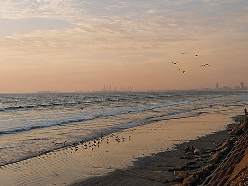
Arabian Sea in Karachi, Pakistan