Petworth (Washington, D.C.)
Videos
Page
Petworth is a neighborhood of Washington, D.C., located in Northwest D.C. While largely residential, Petworth is home to a notable commercial corridor of shops and restaurants, primarily along Georgia Avenue and Upshur Street, as well as a portion of 14th Street. The neighborhood is accessible via the Georgia Ave–Petworth station on the Green Line of the Washington Metro.
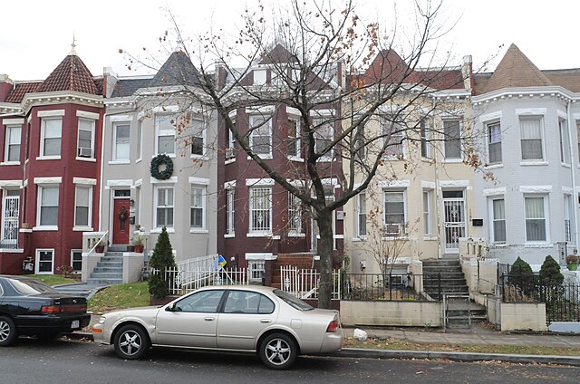
Image: Row Homes in Petworth panoramio (2) (cropped)
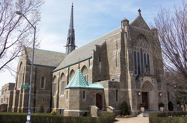
Image: St. Gabriel Church DC 01 (cropped)

Image: Honeymoon Chicken and Petworth Cigar Lounge (cropped)
Image: 03a.Petworth.Georgia Avenue.NW.WDC.3September 2011 (6113351274) (cropped)
Northwest (Washington, D.C.)
Videos
Page
Northwest is the northwestern quadrant of Washington, D.C., the capital of the United States, and is located north of the National Mall and west of North Capitol Street. It is the largest of the four quadrants of the city, and it includes the central business district, the Federal Triangle, and the museums along the northern side of the National Mall, as well as many of the District's historic neighborhoods.
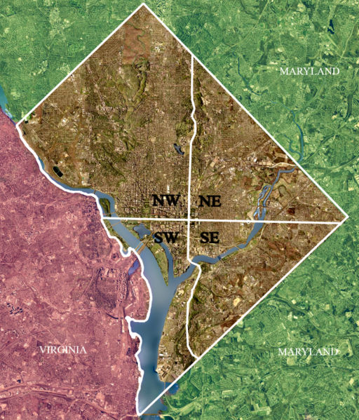
Color-enhanced USGS satellite image of Washington, D.C. with the crosshairs marking the quadrant divisions of Washington, D.C., with the U.S. Capitol at the center of the dividing lines. To the west of the Capitol extends the National Mall, visible as a slight green band in the image. The Northwest quadrant is the largest, located north of the Mall and west of North Capitol Street.
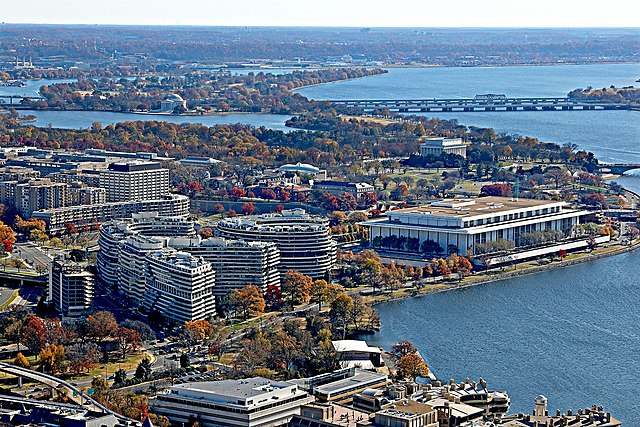
The Watergate complex (left) and the Kennedy Center (right) in the Foggy Bottom neighborhood
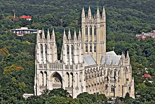
Washington National Cathedral
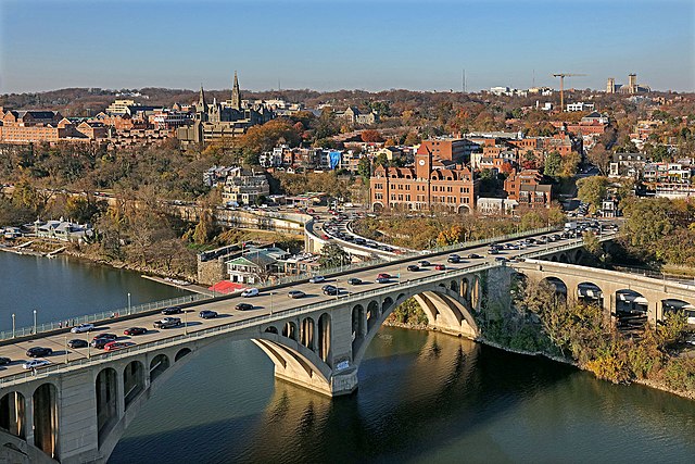
Francis Scott Key Bridge