Phu Soi Dao National Park
Videos
Page
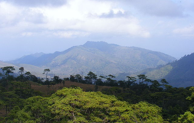
Phu Soi Dao National Park named after 2,120 metres (6,960 ft) high Phu Soi Dao mountain, is a protected area at the southern end of the Luang Prabang Range in the Thai/Lao border area, on the Thai side of the range. It is located in Ban Khok and Nam Pat Districts of Uttaradit Province and Chat Trakan District of Phitsanulok Province. The park was established as Thailand's 109th national park in 2008.
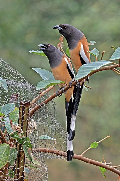
Rufous treepie
Luang Prabang Range
Videos
Page
The Luang Prabang Range, named after Luang Prabang, is a mountain range straddling northwestern Laos and Northern Thailand.
Most of the range is located in Sainyabuli Province (Laos), as well as Nan and Uttaradit Provinces (Thailand), with small parts in Phitsanulok and Loei Provinces. Several rivers such as the Nan, Pua and Wa rivers, have their sources in this range. Phu Fa waterfall, the biggest and the tallest waterfall in Nan Province, is also located in these mountains. This range is part of the Luang Prabang montane rain forests ecoregion.
Noen 1428 (Hill no. 1428), the battlefield of the Thai–Laotian Border War of 1988; view from Phu Soi Dao National Park, Phitsanulok Province, Thailand
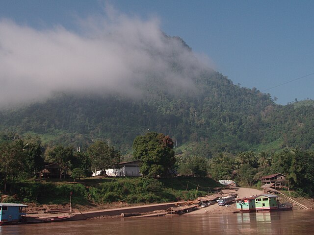
On the Laotian side, the mountains of the range reach the shores of the Mekong
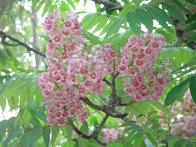
Bretschneidera sinensis (Thai: ชมพูภูคา Chompoo Phu Kha), a tree threatened by habitat loss that in Thailand is found only in this range