Pico Island
Videos
Page
Pico Island is an island in the Central Group of the Portuguese Azores. The landscape features an eponymous volcano, Ponta do Pico, which is the highest mountain in Portugal, the Azores, and the highest elevation of the Mid-Atlantic Ridge. In the tradition of the Portuguese poet, Raul Brandão, Pico is referred to as the Ilha Preta, for its black volcanic soils, which nourish its UNESCO-designated vineyards that once allowed the development of the island's economy. Pico is the second largest and, geologically speaking, the most recently formed island of the Azores, being around 300,000 years old.

The island of Pico, as seen from the north-west coast in the outskirts of Madalena with vineyards and Mount Pico in the background

A traditional windmill along the coast of Monte, in the municipality of Madalena

Convent of São Pedro de Alcântara, a 17th-century building

Radar image of Pico Island next to Faial and São Jorge islands
Azores
Videos
Page
The Azores, officially the Autonomous Region of the Azores, is one of the two autonomous regions of Portugal. It is an archipelago composed of nine volcanic islands in the Macaronesia region of the North Atlantic Ocean, about 1,400 km (870 mi) west of Lisbon, about 1,500 km (930 mi) northwest of Morocco, and about 1,930 km (1,200 mi) southeast of Newfoundland, Canada.

Gaspar Frutuoso wrote Saudades da Terra, the first history of the Azores and Macaronesia, in the 1580s.

Under the direction of Prince Henry the Navigator, the Azores were discovered and populated in the early 1400s.

The Battle of Terceira, part of the War of the Portuguese Succession
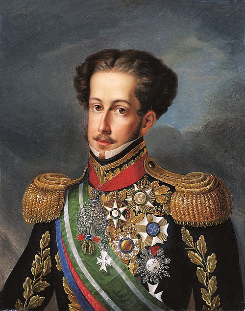
King-Emperor Pedro IV & I planned and launched his campaign in the Liberal Wars from the Azores in name of his daughter Queen Maria II