Pictured Rocks National Lakeshore
Pictured Rocks National Lakeshore is a U.S. National Lakeshore in the Upper Peninsula of Michigan, United States. It extends for 42 mi (68 km) along the shore of Lake Superior and covers 73,236 acres. The park has extensive views of the hilly shoreline between Munising and Grand Marais in Alger County, with picturesque rock formations, waterfalls, and sand dunes.
Bridalveil Falls emptying into Lake Superior
Miners' Castle after one turret collapsed in April 2006
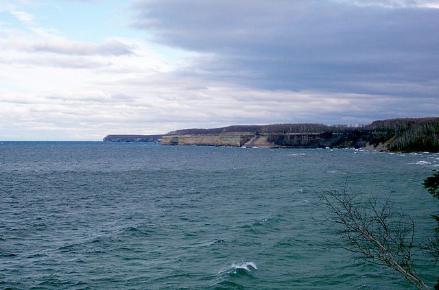
Pictured Rocks in the distance
Au Sable Light, built in 1874 after numerous shipwrecks
Lake Superior is the largest freshwater lake in the world by surface area and the third-largest freshwater lake by volume, holding 10% of the world's surface fresh water. Located in central North America, it is the northernmost and westernmost of the Great Lakes of North America, straddling the Canada–United States border with the Canadian province of Ontario to the north and east and the U.S. states of Minnesota to the west and Michigan and Wisconsin to the south. It drains into Lake Huron via St. Marys River, then through the lower Great Lakes to the St. Lawrence River and ultimately the Atlantic Ocean.
Lake Superior taken from the International Space Station on June 6, 2019
A frozen Duluth Harbor Entrance
Lake Superior, by Walter Shirlaw
Pictographs at Lake Superior Provincial Park, Ontario