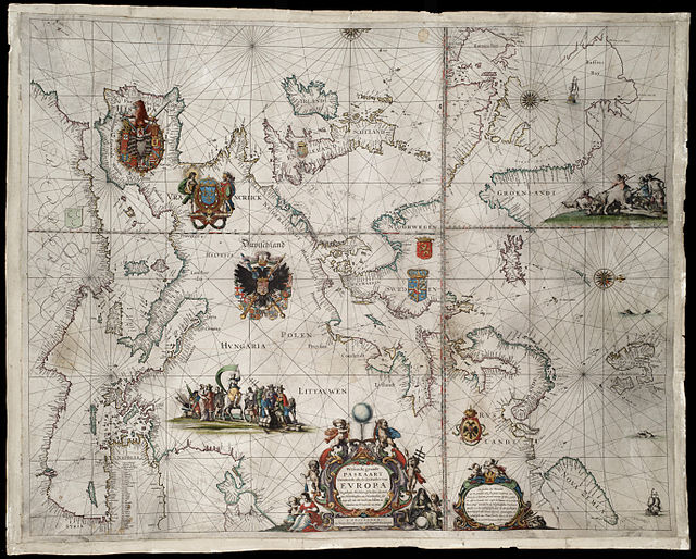
Pieter Goos (1616–1675) was a Dutch cartographer, copperplate engraver, publisher and bookseller. He was the son of Abraham Goos (1590–1643), also a cartographer and map seller. From 1666, Pieter Goos published a number of well produced atlases. He was the first to map Christmas Island, which he labelled "Mony" in his map of the East Indies, published in his 1666 Zee-Atlas. His Atlas ofte Water-Weereld has been cited as one of the best maritime atlases of its time. Another of his fine works was the Oost Indien map published in 1680.
1658 Paskaart Europa: Pieter Goos
1660 De Texel Stroom & De Mase: Pieter Goos
1666 Nieu Nederlandt (New Netherland): Pieter Goos
The Territory of Christmas Island is an Australian external territory in the Indian Ocean comprising the island of the same name. It is located approximately 350 kilometres south of Java and Sumatra and about 1,550 km (840 nmi) north-west of the closest point on the Australian mainland. It has an area of 135 square kilometres (52 sq mi).
Flying Fish Cove, the territory's capital
Immigration Detention Centre
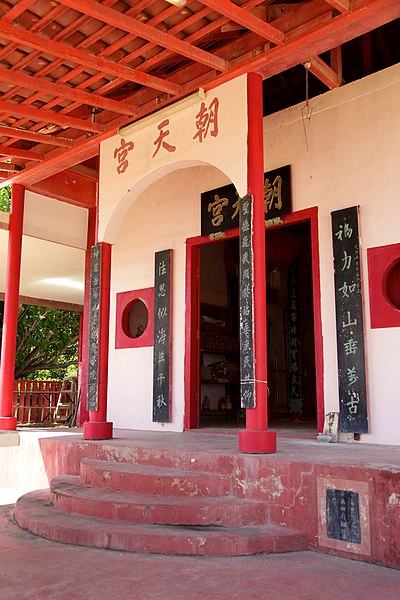
A Taoist temple
Trekking across the backroads of Christmas Island