The Pikes Peak Highway is a 19-mile (31 km) toll road that runs from Cascade, Colorado to the summit of Pikes Peak in El Paso County, at an altitude of 14,115 feet (4,302 m). It is at least partially open year-round, up to the altitude where snow removal becomes excessively difficult.
Entrance to the Pikes Peak Highway
A view of the highway as it nears the summit
Downhill drivers have to check the brake temperatures of their vehicle at this station
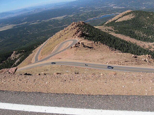
The winding Pikes Peak Highway, looking down from 13,000 feet (3,960 m) at milepost 16 September 2011
Cascade is an unincorporated community and U.S. Post Office in El Paso County, Colorado, United States. The ZIP Code of the Cascade Post Office is 80809.
Eastholme of the Rockies Bed and Breakfast Inn, Cascade
Cascade Canon, Pikes Peak Region series of photographs, Charles S. Lee, 1893. Hotel Ramonda is in the lower left hand corner.
Cascade Canon, William H. Walker, 1889-1890. Western Collection, Denver Public Library
Carriage Road - Pikes Peak series of photographs - Charles S. Lee - 1893