The Pioneer Valley is the colloquial and promotional name for the portion of the Connecticut River Valley that is in Massachusetts in the United States. It is generally taken to comprise the three counties of Hampden, Hampshire, and Franklin. The lower Pioneer Valley corresponds to the Springfield, Massachusetts metropolitan area, the region's urban center, and the seat of Hampden County. The upper Pioneer Valley region includes the smaller cities of Northampton and Greenfield, the county seats of Hampshire and Franklin counties, respectively.
The Connecticut River, looking southward over Sunderland from Deerfield.
The Pioneer Valley from space, with Springfield toward the bottom of the photo and Northampton-Amherst toward the top.
UMass Amherst campus at night, 18 miles north of Springfield
Amherst College's Main Quad, 17 miles north of Springfield
The Connecticut River is the longest river in the New England region of the United States, flowing roughly southward for 406 miles (653 km) through four states. It rises 300 yards south of the U.S. border with Quebec, Canada, and discharges at Long Island Sound. Its watershed encompasses 11,260 square miles (29,200 km2), covering parts of five U.S. states and one Canadian province, via 148 tributaries, 38 of which are major rivers. It produces 70% of Long Island Sound's fresh water, discharging at 18,400 cubic feet (520 m3) per second.
The Connecticut River seen from behind Gillette Castle in Lyme, Connecticut
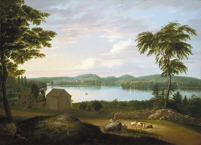
View of Springfield on the Connecticut River by Alvan Fisher (Brooklyn Museum)
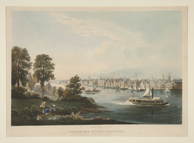
View of the City of Hartford, Connecticut by William Havell
View from Mount Holyoke, Northampton, Massachusetts, after a Thunderstorm—The Oxbow (1836) by Thomas Cole


