Ahmed Muhiddin Piri, better known as Piri Reis, was an Ottoman navigator, geographer and cartographer. He is primarily known today for his maps and charts collected in his Kitab-ı Bahriye, a book that contains detailed information on early navigational techniques as well as relatively accurate charts for their time, describing the important ports and cities of the Mediterranean Sea.
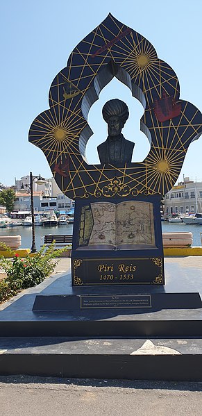
Statue of Piri Reis
Bust of Piri Reis in Gallipoli
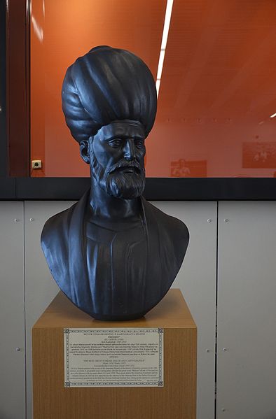
Bust of Piri Reis in the Istanbul Naval Museum
Geography and cartography in the medieval Islamic world
Medieval Islamic geography and cartography refer to the study of geography and cartography in the Muslim world during the Islamic Golden Age. Muslim scholars made advances to the map-making traditions of earlier cultures, particularly the Hellenistic geographers Ptolemy and Marinus of Tyre, combined with what explorers and merchants learned in their travels across the Old World (Afro-Eurasia). Islamic geography had three major fields: exploration and navigation, physical geography, and cartography and mathematical geography. Islamic geography reached its apex with Muhammad al-Idrisi in the 12th century.
Astrolabe from 9th century North Africa
Ibn al-Wardi's atlas of the world (14th century), a manuscript copied in the 17th century


