Piz Bernina is the highest mountain in the Eastern Alps, the highest point of the Bernina Range, and the highest peak in the Rhaetian Alps. It rises 4,048 m (13,281 ft) and is located south of Pontresina and near the major Alpine resort of St. Moritz, in the Engadin valley. It is also the most easterly mountain higher than 4,000 m (13,000 ft) in the Alps, the highest point of the Swiss canton of Graubünden, and the fifth-most prominent peak in the Alps. Although the summit lies within Switzerland, the massif is on the border with Italy. The "shoulder" known as La Spedla is the highest point in the Italian Lombardy region.
Piz Bernina with the Biancograt to the right
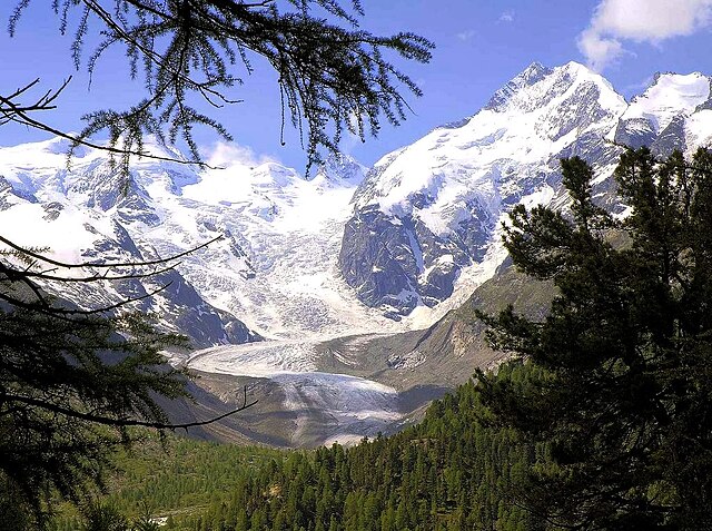
Piz Bernina and the Morteratsch Glacier
Spherical panorama from Piz Bernina
Panorama from Diavolezza. From left to right: Piz Palü, Bellavista, Crast' Agüzza (small rocky peak in the middle), Piz Bernina and Piz Morteratsch
The Eastern Alps are usually defined as the area east of a line from Lake Constance and the Alpine Rhine valley, up to the Splügen Pass at the Alpine divide, and down the Liro River to Lake Como in the south. The peaks and mountain passes are lower than the Western Alps, while the range itself is broader and less arched.
Piz Bernina (centre-left) with the Biancograt to the left, Piz Scerscen (centre-right) and Piz Roseg (right), seen from Piz Corvatsch
Delimitation of Western and Eastern Alps
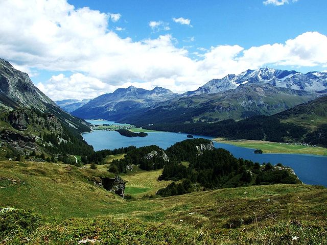
The Upper Engadin valley near St Moritz.
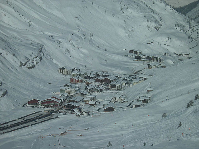
Zuers at the Flexenpass in Vorarlberg.


