Infinite photos and videos for every Wiki article · Find something interesting to watch in seconds
History
Page
Sunset over Porirua Inlet and Harbour entrance
The Pauatahanui arm of the Porirua Harbour with the entrance at the extreme left and Pauatahanui at the extreme right
Porirua Harbour viewed from Camborne. Mana Island is in the centre; Plimmerton to the right. Pauatahanui inlet to the left.
Porirua Harbour (bottom center) and Pauatahanui Inlet (top center) viewed from the ISS.
Page
A composite landsat-7 image of the southwestern part of the region
On the Quartz Hill track
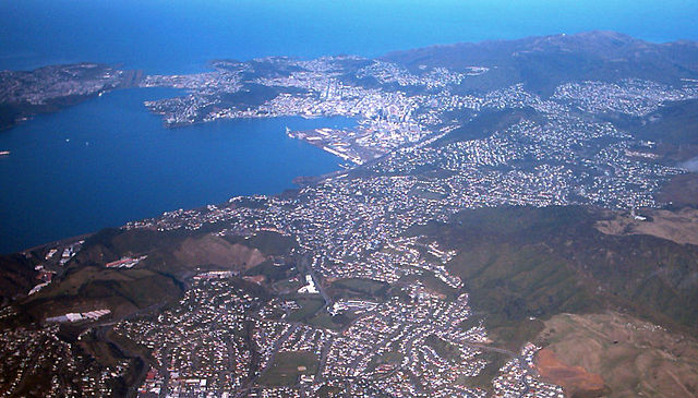
Aerial view of Wellington city
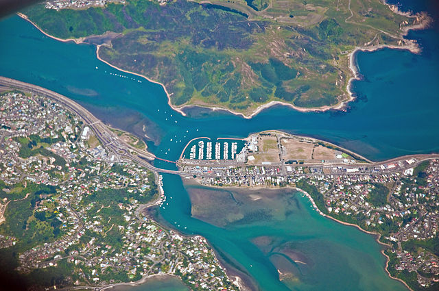
Plimmerton, Paremata and Pauatahanui Inlet