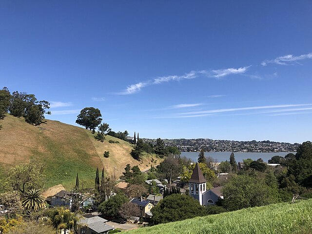
Port Costa is a small town and census-designated place (CDP) in Contra Costa County, California, located in East Bay region of the San Francisco Bay Area. Situated on the southern shore of the Carquinez Strait, the population was 242 at the 2020 based on United States Census Bureau.
Port Costa
Bull Valley Roadhouse, formerly the McNear office building, built 1897
Pilings left over from the docks at Port Costa
Historic buildings in Port Costa.
The Carquinez Strait is a narrow tidal strait located in the Bay Area of Northern California, United States. It is part of the tidal estuary of the Sacramento and the San Joaquin rivers as they drain into the San Francisco Bay. The strait is eight miles (13 km) long and connects Suisun Bay, which receives the waters of the combined rivers, with San Pablo Bay, a northern extension of the San Francisco Bay.
Looking east, the Carquinez Bridge in the foreground and the Benicia–Martinez Bridge in the background
Suisun Bay (bottom), Carquinez Strait (with bridges crossing it), and San Pablo Bay (upper center), with Point Reyes in the background
View of the Carquinez Strait with the Benicia-Martinez Bridge on the right
Annotated satellite image of the San Francisco Bay Area, featuring San Pablo Bay and the Carquinez Strait, 2004


