Portuguese maritime exploration resulted in the numerous territories and maritime routes recorded by the Portuguese as a result of their intensive maritime journeys during the 15th and 16th centuries. Portuguese sailors were at the vanguard of European exploration, chronicling and mapping the coasts of Africa and Asia, then known as the East Indies, and Canada and Brazil, in what came to be known as the Age of Discovery.

The Cantino planisphere, made by an anonymous cartographer in 1502, shows the world as it was understood by Europeans after their great explorations at the end of the fifteenth century.

Vasco da Gama lands in Calicut on May 20th 1498.
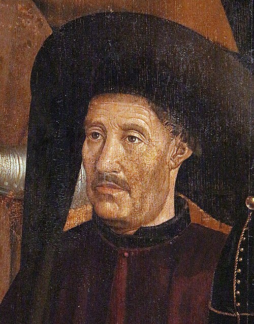
Prince Henry the Navigator, generally credited as the driving force behind Portuguese maritime exploration.

The caravel was an existing ship type that was prominent in Portuguese exploration from about 1440
Sierra Leone
Videos
Sierra Leone, officially the Republic of Sierra Leone, is a country on the southwest coast of West Africa. It shares its southeastern border with Liberia and is bordered by Guinea to the north. With a land area of 71,740 km2 (27,699 sq mi), Sierra Leone has a tropical climate and with a variety of environments ranging from savannas to rainforests. According to the 2015 census, Sierra Leone has a population of 7,092,113, with Freetown serving as both the capital and largest city. The country is divided into five administrative regions, which are further subdivided into 16 districts.

Fragments of prehistoric pottery from Kamabai Rock Shelter

Bunce Island, 1805, during the period the slave factory was run by John and Alexander Anderson

An 1835 illustration of liberated Africans arriving in Sierra Leone

Houses at Sierra-Leone (May 1853, X, p. 55)