The Presidential Range is a mountain range located in the White Mountains of the U.S. state of New Hampshire. Containing the highest peaks of the Whites, its most notable summits are named for American presidents, followed by prominent public figures of the 18th and 19th centuries. The Presidential Range is notorious for having some of the worst weather on Earth, mainly because of the unpredictability of high wind speeds and whiteout conditions on the higher summits. Because of the poor weather conditions, the Presidential Range is often used for mountaineering training for those who go on to climb some of the world's highest mountains, including K2 and Everest.
The Presidential Range viewed from Pinkham Notch
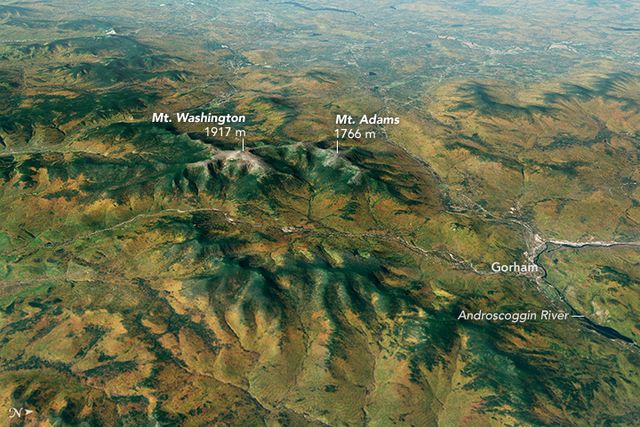
Computer-generated image from satellite data of the Presidential Range and vicinity on a rare clear day, 2014
Presidential Range in winter (summits and Cog Railway labeled)
The Appalachian Trail in the southern Presidential Range
White Mountains (New England)
The White Mountains are a mountain range covering about a quarter of the state of New Hampshire and a small portion of western Maine in the United States. They are a subrange of the northern Appalachian Mountains and the most rugged mountains in New England. Several of the higher peaks contain an Alpine tundra. The range is heavily visited due to its proximity to Boston, New York City, and Montreal.
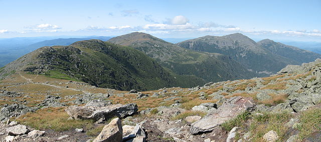
From left to right: Mount Clay, Mount Jefferson, Mount Adams, and Mount Madison viewed from Mount Washington
Peaks of the Franconia Range of the White Mountains as viewed from Loon Mountain resort after an October snowfall, looking to the north.


